Kaoma Airport
| Kaoma Airport | |||||||||||
|---|---|---|---|---|---|---|---|---|---|---|---|
| IATA: KMZ – ICAO: FLKO | |||||||||||
| Summary | |||||||||||
| Airport type | Public | ||||||||||
| Serves | Kaoma | ||||||||||
| Elevation AMSL | 3,670 (?) ft / 1,118 (?) m | ||||||||||
| Coordinates | 14°47′50″S 24°48′30″E / 14.79722°S 24.80833°ECoordinates: 14°47′50″S 24°48′30″E / 14.79722°S 24.80833°E | ||||||||||
| Map | |||||||||||
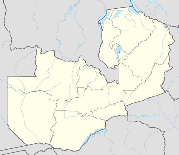 KMZ Location of the airport in Zambia | |||||||||||
| Runways | |||||||||||
| |||||||||||
Kaoma Airport (IATA: KMZ, ICAO: FLKO) is an airport serving Kaoma, Western Province, Zambia. Caution: Airport elevation of 3670 ft AMSL may be in error, low.
See also
- Transport in Zambia
 Zambia portal
 Aviation portal
References
- Directory of Airports in Zambia
- Great Circle Mapper
- Google Earth
External links
This article is issued from Wikipedia - version of the 12/5/2016. The text is available under the Creative Commons Attribution/Share Alike but additional terms may apply for the media files.