Kamarang Airport
| Kamarang Airport | |||||||||||
|---|---|---|---|---|---|---|---|---|---|---|---|
| IATA: KAR – ICAO: SYKM | |||||||||||
| Summary | |||||||||||
| Serves | Kamarang | ||||||||||
| Elevation AMSL | 1,601 ft / 488 m | ||||||||||
| Coordinates | 5°51′55″N 60°36′50″W / 5.86528°N 60.61389°WCoordinates: 5°51′55″N 60°36′50″W / 5.86528°N 60.61389°W | ||||||||||
| Map | |||||||||||
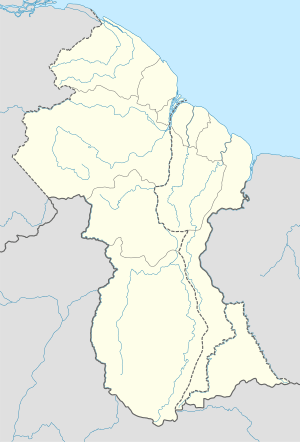 KAR Location in Guyana | |||||||||||
| Runways | |||||||||||
| |||||||||||
Kamarang Airport (IATA: SYKM, ICAO: KAR) is an airport serving the town of Kamarang, in the Cuyuni-Mazaruni Region of Guyana.
The Kamarang non-directional beacon (Ident: KAM) is 2 kilometres (1.2 mi) north of the field.
See also
 Guyana portal
 Aviation portal
- List of airports in Guyana
- Transport in Guyana
References
- ↑ Google Maps - Kamarang
- ↑ Airport information for KAR at Great Circle Mapper.
External links
This article is issued from Wikipedia - version of the 5/30/2016. The text is available under the Creative Commons Attribution/Share Alike but additional terms may apply for the media files.