Kalbario-Patapat Natural Park
| Kalbario-Patapat Natural Park | |
|---|---|
|
IUCN category III (natural monument or feature) | |
|
Kabigan Falls at the Kalbario-Patapat Natural Park | |
.svg.png) Location in the Philippines | |
| Location | Ilocos Norte, Philippines |
| Nearest city | Laoag |
| Coordinates | 18°31′57″N 120°54′50″E / 18.53250°N 120.91389°ECoordinates: 18°31′57″N 120°54′50″E / 18.53250°N 120.91389°E |
| Area | 3,800 hectares (9,400 acres) |
| Established | April 20, 2007 |
| Governing body | Department of Environment and Natural Resources |

The Kalbario-Patapat Natural Park is a protected area in the Philippines, located on the Patapat Mountains in the municipalities of Pagudpud and Adams in northern Ilocos Norte province.[1][2]
Protected area
The natural park was established on April 20, 2007 by Proclamation no. 1275 encompassing 3,800 hectares (9,400 acres) with a buffer zone of 1,937 hectares (4,790 acres). The park was created under the National Integrated Protected Areas System (NIPAS) of the Department of Environment and Natural Resources.[1]
Patapat Viaduct
In the northern section of the park is the Patapat Viaduct, a 7-kilometre (4.3 mi) highway and part of the Pan-Philippine Highway, allowing travel along the sheer cliffs of the northern coastal mountains of Ilocos Norte overlooking the coast of Pasaleng Bay. Part of the viaduct is an elevated highway between the cliffs and shore constructed to solve the problems of landslides during heavy rains causing accidents or closures.[3]
See also
References
- 1 2 "Protected areas in Region 1". Protected Areas and Wildlife Bureau. Retrieved on 2012-06-20.
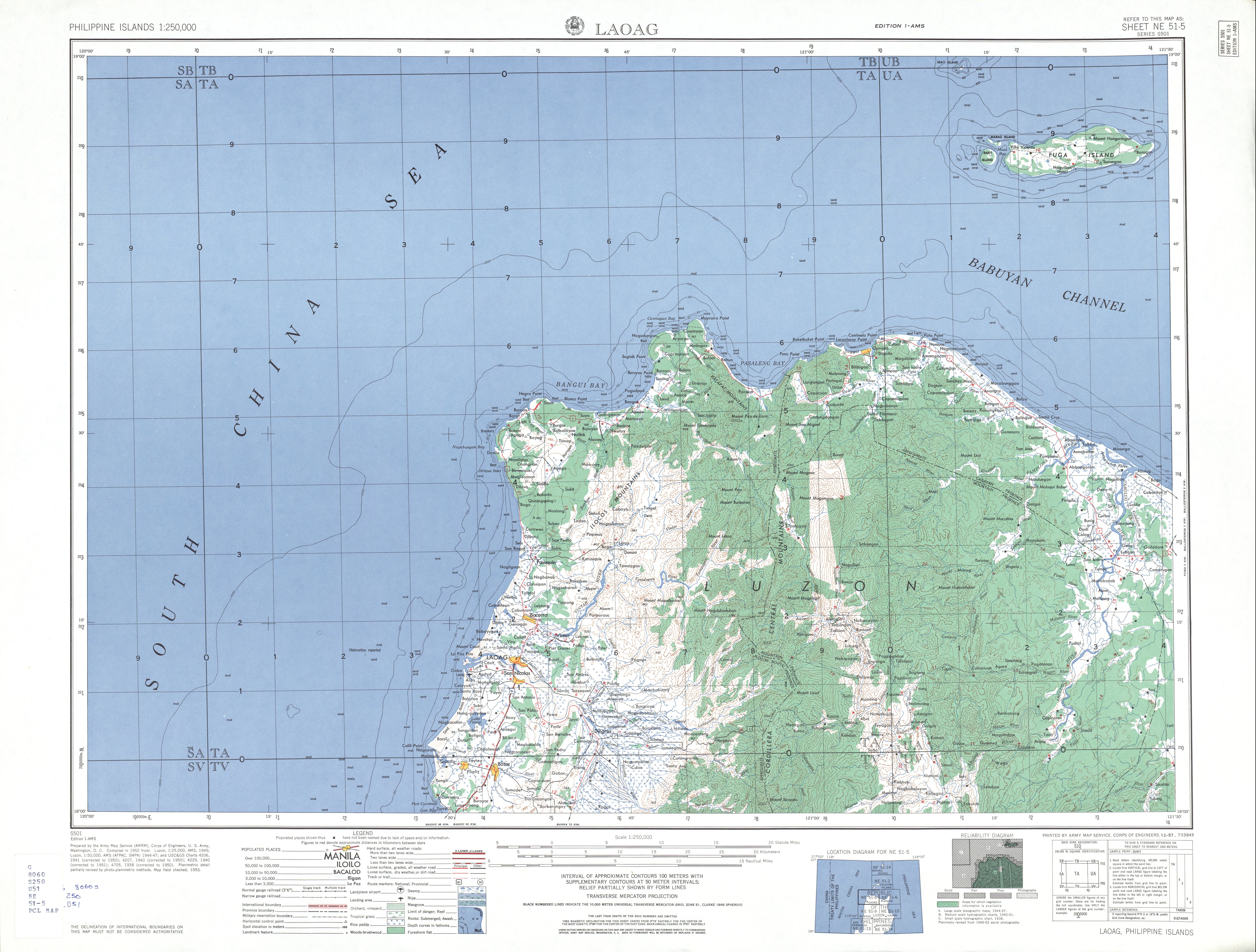
- ↑ U.S. Army Corps of Engineers (1953). "Laoag Map". University of Texas in Austin Library.
- ↑ "Patapat Viaduct". Our Awesome Planet. Retrieved on 2012-06-20.