Jonquières, Hérault
| Jonquières | ||
|---|---|---|
| ||
 Jonquières | ||
|
Location within Occitanie region  Jonquières | ||
| Coordinates: 43°40′34″N 3°28′35″E / 43.6761°N 3.4764°ECoordinates: 43°40′34″N 3°28′35″E / 43.6761°N 3.4764°E | ||
| Country | France | |
| Region | Occitanie | |
| Department | Hérault | |
| Arrondissement | Lodève | |
| Canton | Gignac | |
| Intercommunality | Vallée de l'Hérault | |
| Government | ||
| • Mayor (2008–2014) | Bernard Gouzin | |
| Area1 | 2.05 km2 (0.79 sq mi) | |
| Population (2008)2 | 381 | |
| • Density | 190/km2 (480/sq mi) | |
| Time zone | CET (UTC+1) | |
| • Summer (DST) | CEST (UTC+2) | |
| INSEE/Postal code | 34122 / 34725 | |
| Elevation | 94–126 m (308–413 ft) | |
|
1 French Land Register data, which excludes lakes, ponds, glaciers > 1 km² (0.386 sq mi or 247 acres) and river estuaries. 2 Population without double counting: residents of multiple communes (e.g., students and military personnel) only counted once. | ||
.svg.png)
Jonquières is a commune in the Hérault département in the Occitanie region in southern France.
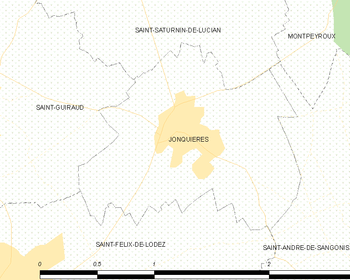
Map
Population
| Historical population | ||
|---|---|---|
| Year | Pop. | ±% |
| 1962 | 295 | — |
| 1968 | 316 | +7.1% |
| 1975 | 270 | −14.6% |
| 1982 | 286 | +5.9% |
| 1990 | 299 | +4.5% |
| 1999 | 355 | +18.7% |
| 2008 | 381 | +7.3% |
See also
References
| Wikimedia Commons has media related to Jonquières (Hérault). |
This article is issued from Wikipedia - version of the 11/12/2016. The text is available under the Creative Commons Attribution/Share Alike but additional terms may apply for the media files.