Jogighopa
| Jogighopa যোগীঘোপা | |
|---|---|
| Town | |
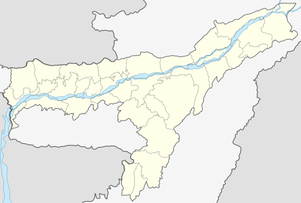 Jogighopa  Jogighopa Location in Assam, India | |
| Coordinates: 26°14′N 90°35′E / 26.23°N 90.58°ECoordinates: 26°14′N 90°35′E / 26.23°N 90.58°E | |
| Country |
|
| State | Assam |
| District | Bongaigaon |
| Elevation | 20 m (70 ft) |
| Languages | |
| • Official | Assamese |
| Time zone | IST (UTC+5:30) |
| ISO 3166 code | IN-AS |
| Vehicle registration | AS |
Jogighopa is a small town located on the banks of the Brahmaputra River in the Bongaigaon district in the state of Assam, India
Within the city are the remains of the five rock cut rock-cut caves, examples of Salasthambha period architecture. The architectural site is being preserved by the Archaeological survey of India.[1]
Geography
Jogighopa is located at 26°14′N 90°35′E / 26.23°N 90.58°E.[2] It has an average elevation of 20 m (66 ft). Population: officially Jogighopa is not a Town and it is a Village and still governed by under Jogighopa Gaon Panchayat. But, in last few years, population of Jogighopa is growing way faster, A significant aspect of Jogighopa is that it covers some important area like Kabaitary, Chalantapara, Papermil, shantipur and Balapara. Nowadays,these areas became an integral part of Greater Jogighopa Town (Non-official) and this whole area popularly known as Jogighopa. As per Census data of 2011, total population of Greater Jogighopa is 65845. It is expected that, in 2021, the population of Greater Jogighopa Town will cross official city level population i.e. 100.000 and it will be a non-official city in History.
Transport
Jojoghopa has a combined road-rail bridge, Naranarayan Setu, over the Brahmaputra River.[3]
Notes
- ↑ "Rock Cut Caves". Retrieved 2006-12-21.
- ↑ Falling Rain Genomics, Inc - Jogighopa
- ↑ Janes World Railways 2002 edition, page 194