Jinggu Dai and Yi Autonomous County
| Jinggu County | |
|---|---|
| Autonomous county | |
| Chinese transcription(s) | |
| • Characters | 景谷傣族彝族自治县 |
| • Pinyin | Jǐnggǔ dǎizú yízú Zìzhìxiàn |
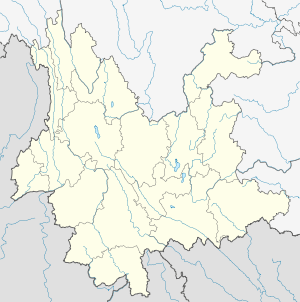
.png) Location of Jinggu County (pink) and Pu'er Prefecture (yellow) within Yunnan province of China | |
 Jinggu County Location within Yunnan, China | |
| Coordinates: 23°28′N 100°42′E / 23.467°N 100.700°E | |
| Country | China |
| Province | Yunnan |
| Prefecture | Pu'er |
| GB/T 2260 CODE[1] | 530824 |
| Area | |
| • Total | 7,550 km2 (2,920 sq mi) |
| Elevation | 946 m (3,104 ft) |
| Population | |
| • Total | 285,558 |
| • Density | 38/km2 (98/sq mi) |
| Time zone | China Standard Time (UTC+8) |
| Postal code | 666400[2] |
| Area code(s) | 0879[2] |
| Website | http://www.jg.gov.cn/ |
|
1Yunnan Statistics Bureau 2Puer Gov. 3Yunnan Portal | |
Jinggu Dai and Yi Autonomous County (景谷傣族彝族自治县; pinyin: Jǐnggǔ dǎizú yízú Zìzhìxiàn) is an autonomous county under the jurisdiction of Pu'er Prefecture, Yunnan Province, China.
Ethnic groups
The Jinggu County Almanac (1993:682) lists the following ethnic groups and their locations.
- Hani (pop. 2,440)
- Hui (pop. 1,711)
- Weiyuan 威远, Yongping 永平, Bi'an 碧安 townships
- Bulang (pop. 1,532)
- Bai (pop. 1,153)
- Bi'an 碧安, Zhengxing 正兴, Bianjiang 边江 townships
2014 Earthquake
On October 7, 2014 a magnitude 6.6 earthquake struck the Jinggu county at 9:49 p.m. local time. The earthquake was felt in many parts of Yunnan including the provincial capital, Kunming, nearly 300 miles away.[7]
References
- ↑ http://www.stats.gov.cn/tjbz/xzqhdm/index.htm
- 1 2 Area Code and Postal Code in Yunnan Province
- ↑ http://www.ynszxc.gov.cn/villagePage/vIndex.aspx?departmentid=54678
- ↑ http://www.ynszxc.gov.cn/villagePage/vIndex.aspx?departmentid=108651̩
- ↑ http://www.ynszxc.gov.cn/villagePage/vIndex.aspx?departmentid=181829
- ↑ http://www.ynszxc.gov.cn/villagePage/vIndex.aspx?departmentid=208037
- ↑ Bonnie Cao (7 Oct 2014). "China Expects Heavy Casualties as Earth Quake Hits Yunnan". Bloomberg. Retrieved 7 Oct 2014.
External links
Coordinates: 23°28′00″N 100°42′00″E / 23.4667°N 100.7°E
This article is issued from Wikipedia - version of the 3/31/2016. The text is available under the Creative Commons Attribution/Share Alike but additional terms may apply for the media files.