Jeffersonville, Kentucky
| Jeffersonville, Kentucky | |
|---|---|
| City | |
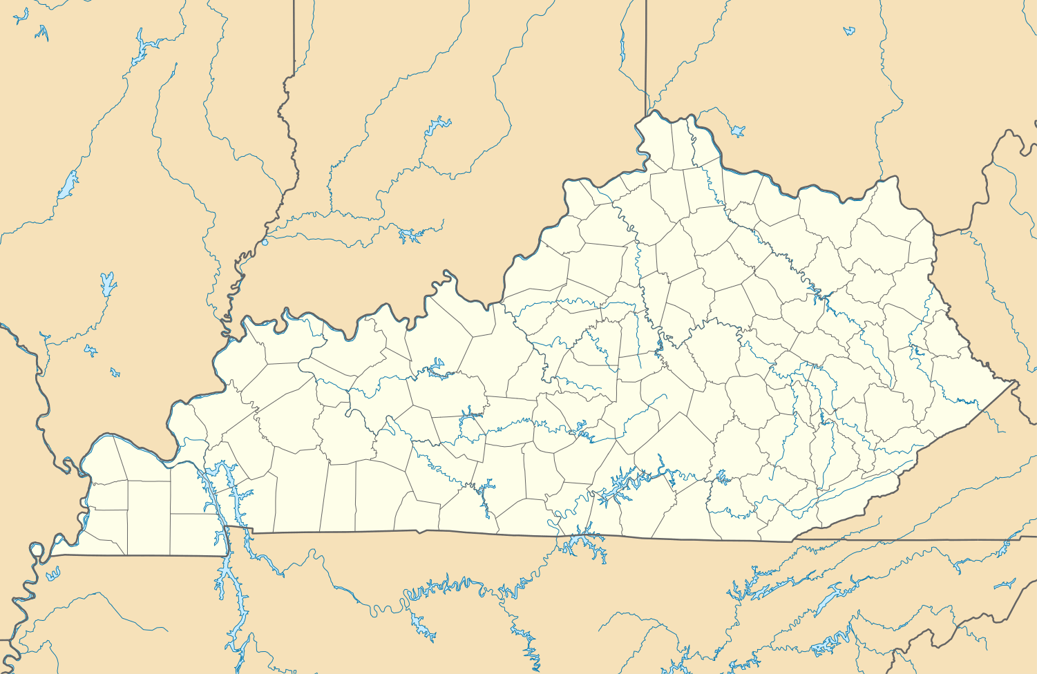 Jeffersonville, Kentucky Location within the state of Kentucky | |
| Coordinates: 37°58′9″N 83°49′28″W / 37.96917°N 83.82444°WCoordinates: 37°58′9″N 83°49′28″W / 37.96917°N 83.82444°W | |
| Country | United States |
| State | Kentucky |
| County | Montgomery |
| Incorporated | March 20, 1876[1] |
| Named for | Pres. Thomas Jefferson |
| Government | |
| • Type | City Commission |
| Area | |
| • Total | 3.0 sq mi (7.8 km2) |
| • Land | 3.0 sq mi (7.8 km2) |
| • Water | 0.0 sq mi (0.0 km2) |
| Elevation | 817 ft (249 m) |
| Population (2010) | |
| • Total | 1,506 |
| • Density | 502.0/sq mi (193.1/km2) |
| Time zone | Eastern (EST) (UTC-5) |
| • Summer (DST) | EDT (UTC-4) |
| ZIP code | 40337 |
| Area code(s) | 859 |
| FIPS code | 21-40240 |
| GNIS feature ID | 0512986 |
Jeffersonville is a home rule-class city[2] in Montgomery County, Kentucky, in the United States. The population was 1,506 at the 2010 U.S. census. It is part of the Mount Sterling micropolitan area.
History
Jeffersonville began as an important cattle-trading center in Eastern Kentucky during the mid-19th century. It was then known as Ticktown, either for the tickgrass (Eragrostis echinochloidea) in the area or for the ticks in the cattle pens. Although it is unknown when the settlement became known as Jeffersonville, the first post office was established under that name on March 9, 1866. It presumably honors Pres. Thomas Jefferson.[3]
Jeffersonville was incorporated on March 20, 1876.[1][4]
Geography
Jeffersonville is located at 37°58′9″N 83°49′28″W / 37.96917°N 83.82444°W (37.969148, -83.824466).[5]
According to the United States Census Bureau, the city has a total area of 3.0 square miles (7.8 km2), all of it land.
Demographics
As of the census[6] of 2000, there were 1,804 people, 682 households, and 525 families residing in the city. The population density was 596.6 people per square mile (230.6/km²). There were 738 housing units at an average density of 244.0 per square mile (94.4/km²). The racial makeup of the city was 99.06% White, 0.11% African American, 0.11% Native American, 0.17% Asian, and 0.55% from two or more races. Hispanic or Latino of any race were 0.94% of the population.
| Historical population | |||
|---|---|---|---|
| Census | Pop. | %± | |
| 1880 | 60 | — | |
| 1900 | 84 | — | |
| 1910 | 86 | 2.4% | |
| 1920 | 53 | −38.4% | |
| 1930 | 84 | 58.5% | |
| 1970 | 775 | — | |
| 1980 | 1,528 | 97.2% | |
| 1990 | 1,854 | 21.3% | |
| 2000 | 1,804 | −2.7% | |
| 2010 | 1,506 | −16.5% | |
| Est. 2015 | 1,704 | [7] | 13.1% |
There were 682 households out of which 38.4% had children under the age of 18 living with them, 61.6% were married couples living together, 12.3% had a female householder with no husband present, and 22.9% were non-families. 19.6% of all households were made up of individuals and 8.8% had someone living alone who was 65 years of age or older. The average household size was 2.65 and the average family size was 3.02.
In the city the population was spread out with 26.6% under the age of 18, 8.6% from 18 to 24, 31.4% from 25 to 44, 22.4% from 45 to 64, and 11.0% who were 65 years of age or older. The median age was 34 years. For every 100 females there were 101.3 males. For every 100 females age 18 and over, there were 96.1 males.
The median income for a household in the city was $29,392, and the median income for a family was $33,355. Males had a median income of $26,492 versus $17,576 for females. The per capita income for the city was $13,254. About 14.7% of families and 18.5% of the population were below the poverty line, including 22.7% of those under age 18 and 19.7% of those age 65 or over.
Education
Public schools
Most students residing within Jeffersonville attend the following schools, which are located in nearby Mount Sterling:
- Early Learning Center
- Camargo Elementary School
- Mapleton Elementary School
- Mount Sterling Elementary School
- J.B. McNabb Middle School
- Montgomery County High School
Private schools
- Jeffersonville Christian Academy
- Grace Christian Academy
References
- 1 2 Commonwealth of Kentucky. Office of the Secretary of State. Land Office. "Jeffersonville, Kentucky". Accessed 1 Aug 2013.
- ↑ "Summary and Reference Guide to House Bill 331 City Classification Reform" (PDF). Kentucky League of Cities. Retrieved December 30, 2014.
- ↑ Rennick, Robert M. (1987). "Place Names". Kentucky Place Names. Lexington, Kentucky: The University Press of Kentucky. ISBN 0-8131-0179-4. Accessed 6 Nov 2009.
- ↑ Rennick (1987) claims it was reïncorporated in 1967, but this is not recorded by the Kentucky Secretary of State's Land Office.
- ↑ "US Gazetteer files: 2010, 2000, and 1990". United States Census Bureau. 2011-02-12. Retrieved 2011-04-23.
- ↑ "American FactFinder". United States Census Bureau. Retrieved 2008-01-31.
- ↑ "Annual Estimates of the Resident Population for Incorporated Places: April 1, 2010 to July 1, 2015". Retrieved July 2, 2016.
- ↑ "Census of Population and Housing". Census.gov. Retrieved June 4, 2015.
Municipalities and communities of Montgomery County, Kentucky, United States | ||
|---|---|---|
| Cities |  | |
| Unincorporated community | ||