Jefferson County International Airport
| Jefferson County International Airport Port Townsend Army Airfield | |||||||||||
|---|---|---|---|---|---|---|---|---|---|---|---|
|
2006 USGS Orthophoto | |||||||||||
| IATA: TWD – ICAO: none – FAA LID: 0S9 | |||||||||||
| Summary | |||||||||||
| Airport type | Public | ||||||||||
| Owner | Port of Port Townsend | ||||||||||
| Serves | Port Townsend, Washington | ||||||||||
| Elevation AMSL | 108 ft / 33 m | ||||||||||
| Coordinates | 48°03′14″N 122°48′38″W / 48.05389°N 122.81056°W | ||||||||||
| Website | http://portofpt.com/air-services/jefferson-county-international-airport/ | ||||||||||
| Map | |||||||||||
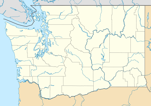 TWD Location of Jefferson County International Airport | |||||||||||
| Runways | |||||||||||
| |||||||||||
| Statistics (2009) | |||||||||||
| |||||||||||

Jefferson County International Airport (IATA: TWD, FAA LID: 0S9) is a public-use airport located four nautical miles (7 km) southwest of the central business district of Port Townsend, a town in Jefferson County, Washington, United States. It is owned by the Port of Port Townsend.[1]
Facilities and aircraft
Jefferson County International Airport covers an area of 292 acres (118 ha) at an elevation of 108 feet (33 m) above mean sea level. It has one runway designated 9/27 with an asphalt surface measuring 3,000 by 75 feet (914 x 23 m).[1]
For the 12-month period ending April 30, 2009, the airport had 58,000 aircraft operations, an average of 158 per day: 97% general aviation and 3% air taxi. At that time there were 107 aircraft based at this airport: 94% single-engine, 5% multi-engine and 1% ultralight.[1]
References
External links
- Jefferson County International Airport at Port of Port Townsend website
- Aerial photo as of 21 June 1990 from USGS The National Map via TerraServer-USA
- Resources for this airport:
- FAA airport information for 0S9
- AirNav airport information for 0S9
- ASN accident history for TWD
- FlightAware airport information and live flight tracker
- SkyVector aeronautical chart for 0S9