Jebil National Park
| Jebil National Park | |
|---|---|
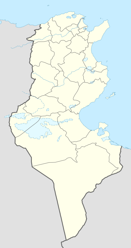 | |
| Location | Tunisia |
| Coordinates | 32°54′4″N 9°9′25″E / 32.90111°N 9.15694°ECoordinates: 32°54′4″N 9°9′25″E / 32.90111°N 9.15694°E |
| Area | 1,500 km2 |
| Established | 1994 |
Jebil is a national park in Tunisia situated within the Sahara desert. Covering an area of 150,000 hectares, it is the country's largest national park and makes up most of the southern part of the country. Though large, it is relatively new having been designated a national park in 1994 (unofficially since 1984). It is the only national park within the Sahara desert proper.[1]
Description
Jebil National Park is located 80 km south of Douz. Its vegetation includes desert shrubs like the Calligonum which are common in regions inhabited by gazelle, hare and horn viper. It also includes the daisy flowering plant Rhanterium. The park has guarded shelters for tourists who frequent the area (guards are stationed throughout the park). Research also takes place in the park, since the site is home to a number of prehistoric artifacts which are studied to learn about the different stages of human history from the Holocene up to World War II.[1] The park covers nearly the entire Grand Erg Oriental within Tunisia.
In the western portion, there are 'gigantic boulders' which were formed through weathering of plutonic rocks.
Fauna
The park is home to a variety of wildlife including the fennec fox, horned viper, cobra, jackal, and the barbary sheep which is endemic to the region.[2] The snakes and other reptiles live under rocks and in sandy depressions. The birds colonizing the area include the lark, raven and bustard.
-

Algerian side of the Grand Erg Oriental
-

Sahara desert, Tunisia
References
- 1 2 "Defining a World Heritage in the Heart of the Libyan Desert". August 2009.
- ↑ "Tunisia: Jebil National Park". Retrieved December 8, 2011.