Ještěd-Kozákov Ridge

The Ještěd-Kozákov Ridge (Czech pronunciation: [ˈjɛʃcɛt ˈkozaːkof]) is part of the Western Sudetes mountain range in the Czech Republic.
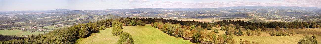
The ridge is almost 60 km long, and the width does not exceed 15 km. In the north-west it starts in a saddle between hills Pískový vrch (547 m) in the Lusatian Mountains and Ostrý vrch (514 m) already in the Ještěd-Kozákov Ridge. The elevation of the hills gradually increases above 800 meters and culminates with Ještěd (1012 m). Ještěd is the highest peak of the ridge and the only peak above 1000 m as well. The ridge continues to the south-east. It is intersected by the deep valleys of Mohelka and Jizera. The last hill above 700 m is Kozákov (744 m).
The range mostly consists of various quartzites, though some parts are formed from sandstone. Almost the entire Ještěd ridge is covered by forest up to the valley of Mohelka. The other part is a mosaic consisting of forests, meadows and fields. Most notable are beech forests, often protected as natural reserves. The Ještěd-Kozákov Ridge is not protected as a whole; however, the Ještěd and Maloskalsko natural parks have been created, along with several smaller reserves.
The terrain is suitable for hiking and cycling. Winter sports are limited by there being only intermittent snow. The most popular area for both downhill and cross-country skiing is centered on Ještěd.
Coordinates: 50°44′N 15°00′E / 50.733°N 15.000°E