Jastrebac
For other uses, see Jastrebac (disambiguation).
| Jastrebac | |
|---|---|
| Јастребац | |
 Jastrebac as seen from Toplica on the south | |
| Highest point | |
| Elevation | 1,492 m (4,895 ft) [1] |
| Coordinates | 43°23′31″N 21°26′57″E / 43.39194°N 21.44917°ECoordinates: 43°23′31″N 21°26′57″E / 43.39194°N 21.44917°E |
| Geography | |
 Jastrebac Location in Serbia | |
| Location | Southern Serbia |

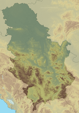
Relief map of Jastrebac
Jastrebac (Serbian Cyrillic: Јастребац) is a mountain in central Serbia, between cities of Niš, Kruševac and Prokuplje. It consists of two massifs, Great (Veliki) and Small (Mali) Jastrebac. Its highest peak Velika Đulica has an elevation of 1,492 meters above sea level.[2] It is well-forested and presents a popular hiking and mountaineering destination.
Jastrebac is bounded by the rivers of South Morava on the west, Toplica on the south and Rasina on the east. Despite relatively low height, it is prominent because of the surrounding valleys. It is located on the boundary of Dinaric, Balkan and Rhodopes mountain ranges, but cannot be clearly classified into either.
References
External links
| Wikimedia Commons has media related to Jastrebac. |
This article is issued from Wikipedia - version of the 5/16/2016. The text is available under the Creative Commons Attribution/Share Alike but additional terms may apply for the media files.