Jablanik
| Jablanik | |
|---|---|
 Jablanik as seen from Debelo Brdo | |
| Highest point | |
| Elevation | 1,275 m (4,183 ft) |
| Coordinates | 44°10′35″N 19°40′00″E / 44.17639°N 19.66667°ECoordinates: 44°10′35″N 19°40′00″E / 44.17639°N 19.66667°E |
| Geography | |
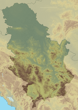 Jablanik Location in Serbia | |
| Location | Western Serbia |
| Parent range | Dinaric Alps |

Jablanik mountain - place Debelo brdo - The top and the northern slopes of the mountain Jablanik and mountain lodge at Debelo Brdo
Jablanik[1] (Serbian Cyrillic: Јабланик) is a mountain in western Serbia, near the town of Valjevo. Its highest peak Jablanik has an elevation of 1,275 meters above sea level.
Jablanik is located at the source of the river Jablanica. It is separated from nearby Medvednik mountain by high pass Stolica, while the Debelo Brdo saddle separates it from Povlen in the southeast. The highest peak has the same name as the mountain itself - Jablanik, and is 1,275 m high. The hills around the peak are mainly forested but the peak itself is barrent, so if visibility is good the view from above is breath-taking. Grid square of the mountain is JN94TE.
References
- ↑ "Valj.planine- Jablanik 1275 m (od doma Krušik)". Staze i bogaze. Retrieved 2010-10-18.
| Wikimedia Commons has media related to Jablanik. |
This article is issued from Wikipedia - version of the 3/25/2016. The text is available under the Creative Commons Attribution/Share Alike but additional terms may apply for the media files.