Itigi
| Itigi | |
|---|---|
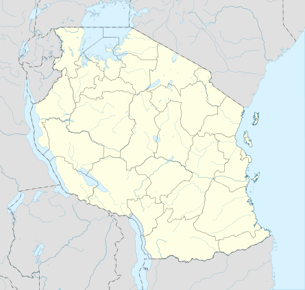 Itigi Location in Tanzania | |
| Coordinates: 5°42′S 34°29′E / 5.700°S 34.483°E | |
| Country |
|
| Region | Singida Region |
| District | Manyoni |
| Elevation | 4,285 ft (1,306 m) |
| Population (2012) | |
| • Total | 21,777 |
| Time zone | East Africa Time (UTC+3) |
| Climate | BSh |
"ITIGI" redirects here. For the plane shot down in 1980, see Aerolinee Itavia Flight 870
Itigi is a town in central Tanzania. It is located in Manyoni District of the Singida Region.
The town is made up of the wards Itigi and Itigi Majengo. According to the 2012 Tanzania National Census, the population of these two wards combined was 21,777.[1]
Transport
Unpaved Trunk road T18 from Manyoni to Tabora and unpaved trunk road T22 from Singida Region to Mbeya Region pass through the town.[2]
Itigi is a station on the Central Line of Tanzanian Railways.
See also
References
- ↑ "Census 2012". National Bureau of Statistics. Retrieved 9 March 2016.
- ↑ "Road Networks". Tanroads. Retrieved 23 February 2016.
External links
Coordinates: 05°42′S 34°29′E / 5.700°S 34.483°E
This article is issued from Wikipedia - version of the 6/26/2016. The text is available under the Creative Commons Attribution/Share Alike but additional terms may apply for the media files.