Isle of Wight/Sandown Airport
| Isle of Wight/Sandown Airport | |||||||||||
|---|---|---|---|---|---|---|---|---|---|---|---|
| IATA: none – ICAO: EGHN | |||||||||||
| Summary | |||||||||||
| Airport type | Public | ||||||||||
| Operator | Isle of Wight Airport Ltd | ||||||||||
| Serves | Isle of Wight | ||||||||||
| Location | Sandown | ||||||||||
| Elevation AMSL | 55 ft / 17 m | ||||||||||
| Coordinates | 50°39′11″N 001°10′56″W / 50.65306°N 1.18222°WCoordinates: 50°39′11″N 001°10′56″W / 50.65306°N 1.18222°W | ||||||||||
| Website | http://www.eghn.org.uk/ | ||||||||||
| Map | |||||||||||
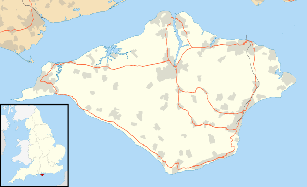 EGHN Location on the Isle of Wight | |||||||||||
| Runways | |||||||||||
| |||||||||||
| Statistics | |||||||||||
| |||||||||||
Isle of Wight/Sandown Airport (ICAO: EGHN) is an unlicensed aerodrome located 1 nautical mile (1.9 km; 1.2 mi) west of Sandown, Isle of Wight, England.
Isle of Wight Sandown Aerodrome formerly had a CAA Ordinary Licence (Number P883) that allows flights for the public transport of passengers or for flying instruction as authorised by the licensee (Isle of Wight Aviation Limited).[2]
Fire damage and decline
On 8 October 2006 at 13:15 GMT, a major fire started in a hangar containing highly flammable materials.
One year later, during the early hours of 31 December 2007, a fire started in the kitchen of the Aviator Restaurant. This destroyed most of the newly built clubhouse and restaurant. It was thought at first that arson may have been the cause of the fire, but investigation found that it had been caused by two gas cylinders in the kitchen.
Following a major decline in revenue as a result of the fire, the airport was sold to a London property developer, who intended to build a holiday camp on the site. Plans to build on the site were denied.
In May 2013 the airport was purchased by two aviation enthusiasts who plan to promote the airfield. Landing fees have been reduced and a supply of aviation fuel introduced.
References
- ↑ Isle of Wight/Sandown Airport
- ↑ Civil Aviation Authority Aerodrome Ordinary Licences Archived 28 June 2007 at the Wayback Machine.
Isle of Wight Portal | |
| Unitary authorities | |
| Major settlements | |
| Rivers | |
| Topics | |