Iowa City Municipal Airport
| Iowa City Municipal Airport | |||||||||||||||
|---|---|---|---|---|---|---|---|---|---|---|---|---|---|---|---|
| IATA: IOW – ICAO: KIOW | |||||||||||||||
| Summary | |||||||||||||||
| Airport type | Public | ||||||||||||||
| Operator | Jet Air Inc | ||||||||||||||
| Location | Iowa City, Iowa | ||||||||||||||
| Elevation AMSL | 668 ft / 203.6 m | ||||||||||||||
| Coordinates | 41°38′21.28″N 91°32′47.41″W / 41.6392444°N 91.5465028°WCoordinates: 41°38′21.28″N 91°32′47.41″W / 41.6392444°N 91.5465028°W | ||||||||||||||
| Map | |||||||||||||||
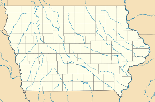 IOW  IOW Location of airport in Iowa/United States | |||||||||||||||
| Runways | |||||||||||||||
| |||||||||||||||
Iowa City Municipal Airport (IATA: IOW, ICAO: KIOW) is a general aviation airport on the southwest side of Iowa City in Johnson County, Iowa, USA. It is at 41°38′21″N 91°32′47″W / 41.63917°N 91.54639°W,[1] along the Iowa River. The Iowa City Airport is the oldest civil airport west of the Mississippi River still in its original location, and is the second busiest general aviation airport in the state.
Facilities
Iowa City Municipal Airport has two runways:
- Runway 7/25: 5,004 x 100 ft concrete
- Runway 12/30: 3,900 x 75 ft concrete
There is an airport terminal building, an aircraft maintenance shop, two corporate hangar buildings, a multi-plane hangar with attached office area, and five buildings with 60 individual hangars (T-hangars).
Airport communications
- CTAF/UNICOM: 122.8
- WX ASOS: 128.075 (319-339-9491)
- CEDAR RAPIDS APPROACH: 119.7
- CHICAGO ARTCC APPROACH: 134.05
- CEDAR RAPIDS DEPARTURE: 119.7
- CHICAGO ARTCC DEPARTURE: 134.05
- CLEARANCE DELIVERY: 119.05
- WX ASOS at CID (16 nm NW): 124.15 (319-363-9021)
APCH/DEP SVC PRVDD BY CHICAGO ARTCC ON FREQS 132.8/328.4 (CEDAR RAPIDS RCAG) WHEN CEDAR RAPIDS APCH CTL CLSD.
Line services
Line services are available from the FBO;
Jet-Air Inc (319) 248-1200 7 AM – 7 PM
Line services;
- Fuel: 100LL and Jet A; mechanics; instruction; charter and aircraft rental
References
- ↑ "US Gazetteer files: 2010, 2000, and 1990". United States Census Bureau. 2011-02-12. Retrieved 2011-04-23.
External links
- Resources for this airport:
- FAA airport information for IOW
- AirNav airport information for KIOW
- ASN accident history for IOW
- FlightAware airport information and live flight tracker
- NOAA/NWS latest weather observations
- SkyVector aeronautical chart, Terminal Procedures