Inishmacowney
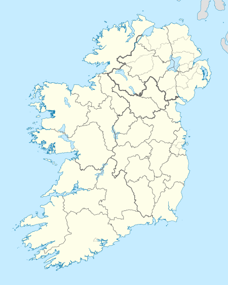
Inishmacowney (Gaeilge: Inis Mhic Uaithne[1]) is an uninhabited island and townland in the River Fergus and Kildysart parish in County Clare, Ireland. The island has an area of 0.9698 km² (239 acres) and consists of mainly grassland. The island has been uninhabited since 1976, but boasted a population of 44 in 1911.[2]
| Historical population |
|---|
| Year | Pop. | ±% |
|---|
| 1841 | 142 | — |
|---|
| 1851 | 91 | −35.9% |
|---|
| 1861 | 103 | +13.2% |
|---|
| 1871 | 95 | −7.8% |
|---|
| 1881 | 75 | −21.1% |
|---|
| 1891 | 30 | −60.0% |
|---|
| 1901 | 37 | +23.3% |
|---|
| 1911 | 44 | +18.9% |
|---|
| | Year | Pop. | ±% |
|---|
| 1926 | 41 | −6.8% |
|---|
| 1936 | 28 | −31.7% |
|---|
| 1946 | 24 | −14.3% |
|---|
| 1951 | 22 | −8.3% |
|---|
| 1956 | 20 | −9.1% |
|---|
| 1961 | 18 | −10.0% |
|---|
| 1966 | 15 | −16.7% |
|---|
| 1971 | 18 | +20.0% |
|---|
| | Year | Pop. | ±% |
|---|
| 1979 | 2 | −88.9% |
|---|
| 1981 | 0 | −100.0% |
|---|
| 1986 | 0 | +nan% |
|---|
| 1991 | 0 | +nan% |
|---|
| 1996 | 0 | +nan% |
|---|
| 2002 | 0 | +nan% |
|---|
| 2006 | 0 | +nan% |
|---|
|
| Source: Central Statistics Office. "CNA17: Population by Off Shore Island, Sex and Year". CSO.ie. Retrieved October 12, 2016. |
References
|
|---|
|
|
|
| Towns | | |
|---|
|
| Villages | |
|---|
|
| Regions | |
|---|
|
| Islands | |
|---|
|
|

