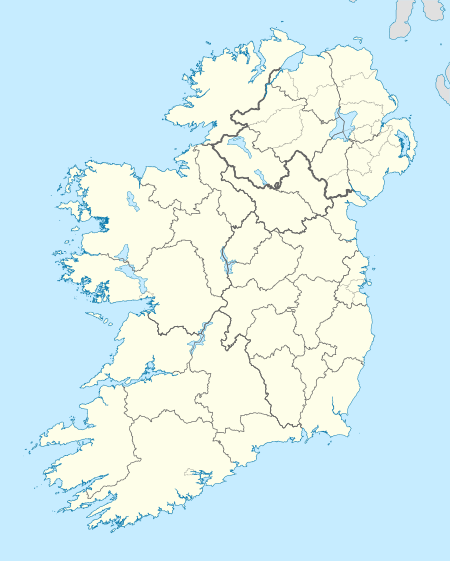
Inishloe
| Native name: <span class="nickname" ">Inis Lua | |
|---|---|
 Inishloe | |
| Geography | |
| Location | River Fergus |
| Coordinates | 52°40′37″N 9°01′12″W / 52.67694°N 9.02000°WCoordinates: 52°40′37″N 9°01′12″W / 52.67694°N 9.02000°W |
| Area | 0.52 km2 (0.20 sq mi) |
| Administration | |
| Province | Munster |
| County | Clare |
| Demographics | |
| Population | 0 |
Inishloe or Low Island (Gaeilge: Inis Lua[1]) is an uninhabited island in the River Fergus and townland in the Kildysart parish of County Clare, Ireland.
Geography
The island's surface area is 52.68 hectares (130 acres).[2]
Demographics
It is has been uninhabited since 1976[3] however the 1901 census showed 43 inhabitants[4] which reduced to 32 in 1911.[5]
| Historical population | |||||||||||||||||||||||||||||||||||||||||||||||||||||||||||||||||||||||||||||||||||
|---|---|---|---|---|---|---|---|---|---|---|---|---|---|---|---|---|---|---|---|---|---|---|---|---|---|---|---|---|---|---|---|---|---|---|---|---|---|---|---|---|---|---|---|---|---|---|---|---|---|---|---|---|---|---|---|---|---|---|---|---|---|---|---|---|---|---|---|---|---|---|---|---|---|---|---|---|---|---|---|---|---|---|---|
|
|
| |||||||||||||||||||||||||||||||||||||||||||||||||||||||||||||||||||||||||||||||||
| Source: Central Statistics Office. "CNA17: Population by Off Shore Island, Sex and Year". CSO.ie. Retrieved October 12, 2016. | |||||||||||||||||||||||||||||||||||||||||||||||||||||||||||||||||||||||||||||||||||
The table reports data taken from Discover the Islands of Ireland (Alex Ritsema, Collins Press, 1999) and the Census of Ireland.
References
This article is issued from Wikipedia - version of the 11/17/2016. The text is available under the Creative Commons Attribution/Share Alike but additional terms may apply for the media files.
