Inchydoney
Coordinates: 51°36′07″N 8°52′34″W / 51.602°N 8.876°W
| Native name: <span class="nickname" ">Inse Duine | |
|---|---|
 Inchydoney Island Beach | |
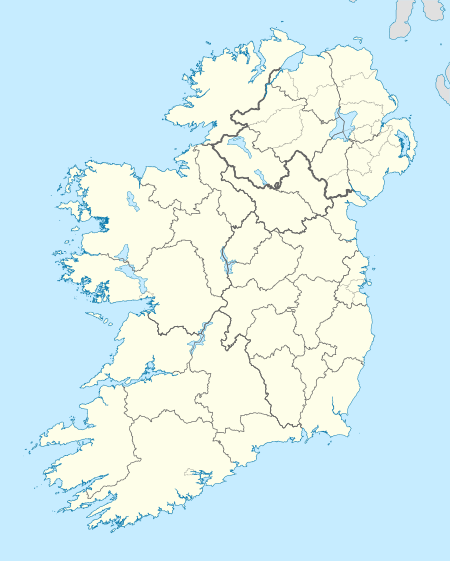
 Inchydoney Location in Ireland | |
| Geography | |
| Location | Clonakilty Harbour |
| Coordinates | 51°36′07″N 8°52′34″W / 51.60194°N 8.87611°W |
| Administration | |
| County | County Cork |
| Demographics | |
| Ethnic groups | Irish |
Inchydoney (from Irish: Inse Duine)[1] (often misspelled Inchadoney [2]) is a small island, long connected to the mainland by two causeways, in West Cork, Ireland. The nearest town is Clonakilty. It has a Blue Flag beach.[3]
History
In 1584, the island, having been escheated to the Crown, was granted by Queen Elizabeth I of England to the Church of Ireland Bishop of Ross. After the Battle of Clonakilty in 1642, 600 of the Irish forces fled towards the island to take refuge; but with the tide setting in at the time, they all drowned before they could reach it.[3]
| Historical population | ||||||||||||||||||||||||||||||||||||||||||||||||||||||||||||||||||||||||||||||||
|---|---|---|---|---|---|---|---|---|---|---|---|---|---|---|---|---|---|---|---|---|---|---|---|---|---|---|---|---|---|---|---|---|---|---|---|---|---|---|---|---|---|---|---|---|---|---|---|---|---|---|---|---|---|---|---|---|---|---|---|---|---|---|---|---|---|---|---|---|---|---|---|---|---|---|---|---|---|---|---|---|
|
|
| ||||||||||||||||||||||||||||||||||||||||||||||||||||||||||||||||||||||||||||||
| Source: Central Statistics Office. "CNA17: Population by Off Shore Island, Sex and Year". CSO.ie. Retrieved October 12, 2016. | ||||||||||||||||||||||||||||||||||||||||||||||||||||||||||||||||||||||||||||||||
Tourism
Inchydoney is a popular tourist destination. There are two beaches, one either side of the Virgin Mary headland. In Summer there is a lifeguard station on the headland for three months.
References
- ↑ Placenames Database of Ireland
- ↑
- 1 2 "Inchydoney, West Cork". Inchydoney.net. Retrieved 2007-09-17.
![]() Media related to Inchydoney at Wikimedia Commons
Media related to Inchydoney at Wikimedia Commons