Inchtavannach
Inchtavannach (Scottish Gaelic: Innis Taigh a' Mhanaich; English: Island of the Monk's House), is one of the larger islands in Loch Lomond.[6]
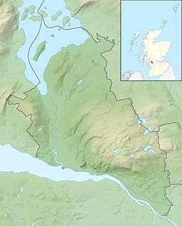
Geography
Inchtavannach faces the settlement of Aldochlay. Bandry Bay separates the island from the mainland, just south of Luss. According to Rev. Wilson, the island is "comparatively steep and lofty, mostly covered with natural oak".[7] A northern summit, Tom nan Clag (English: Mound of the Bell), rises steeply to 282 feet (86 m), the highest point on the loch.[6] A southern summit reaches 180 feet (55 m) in height.
History

Bay on Inchtavannach
It is thought that St Kessog was killed here.
It was once the site of a monastery, giving rise to its translated name of 'Monk's Isle'. A large house has stood on the site of the monastery since 1760. The island is predominantly wooded. It is here that the monks rang the bell to the call of prayer.
Roe Deer are recorded to have lived here. Sir James Colquhoun built a winding path up to the summit in the 17th century.[6]
The poets Samuel Taylor Coleridge and William Wordsworth, together with Wordsworth's sister Dorothy, visited in August 1803.[8]
The producer of Take the High Road Brian Mahoney lived in a house on the island for ten years.[9]
External links
|
|---|
|
| |
|
|
|
|
|
|
|
|
|
| Culture |
|---|
| | Shetland | |
|---|
| | Orkney | |
|---|
| | Outer Hebrides | |
|---|
| | Inner Hebrides | |
|---|
|
|
|
| Politics |
|---|
| | Local authorities | |
|---|
| | Serving MSPs | |
|---|
| | Serving MPs | |
|---|
| | Other | |
|---|
|
|
|
| Wildlife |
|---|
| | Fauna | |
|---|
| | Flora | |
|---|
| | Domesticated animals | |
|---|
|
|
|
|
Coordinates: 56°5′18″N 4°37′38″W / 56.08833°N 4.62722°W / 56.08833; -4.62722