Impach, Washington
| Impach, Washington | |
|---|---|
| Unincorporated community | |
 Impach  Impach | |
| Coordinates: 48°17′18″N 118°14′12″W / 48.28833°N 118.23667°WCoordinates: 48°17′18″N 118°14′12″W / 48.28833°N 118.23667°W | |
| Country | United States |
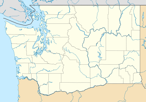
| State | Washington |
| County | Ferry |
| Elevation | 1,788 ft (545 m) |
| Time zone | Pacific (PST) (UTC-8) |
| • Summer (DST) | PDT (UTC-7) |
| ZIP code | 99138 |
| Area code(s) | 509 |
| GNIS feature ID | 1521147[1] |
Impach, Washington is an unincorporated populated place in east central Ferry County, Washington[2] on the Colville Indian Reservation. It is within the Inchelium CDP.
It is located approximately 3 miles (5 km) west of Inchelium on County Highway 2, also known as Bridge Creek Road,[3] at the mouth of a long coulee in rural Seylor Valley. Two prominent summits, Stranger Mountain, 3,021 feet (921 m), and Monument Butte, 2,057 feet (627 m), overlook Impach less than 2 miles (3 km) to the south.[4]
The community's place name means "white lake" in the Salishan dialect of the San Poil tribe,[5] probably a reference to Camille Lake located about 1.25 miles (2 km) north.
Historically, Impach has been the site of traditional Native American dance ceremonies by members of the confederated tribes.[6][7] Gold was discovered in Ferry County in 1896 and several gold mines operated in the Impach area as late as the 1950s, including the nearby Gold Twenty Mine which produced lode gold, lead, and silver.[8] During the early 1930s, a predecessor of the Works Progress Administration established a small logging operation in Impach, which brought some unemployed families to the area at the height of the Great Depression. The scenic valley is primarily grazing land today.
References
- ↑ U.S. Geological Survey Geographic Names Information System: Impach, Washington
- ↑ USGS Geographic Names Information System (GNIS), Impach, Washington
- ↑ Impach, Washington WA Community Profile / Ferry County, WA Data
- ↑ AnyplaceAmerica.com, Topographic Map Search: Impach, Washington
- ↑ Tacoma Public Library, Washington Place Names Database: "Impach"
- ↑ Washington State University Libraries Digital Collection, State history. Native Americans. Celebrations, picnics & pow wows. 1937-01-22, newspaper article
- ↑ Washington State University Libraries Digital Collection, State history. Native Americans. Ceremonies. 1937-01-28, newspaper article
- ↑ Washington Gold, Ferry County Washington Gold, "Meteor"
External links
- Flickriver, United States/Washington/Impach, photos of Impach and the Seylor Valley
- Panoramio, aerial photos of Impach and vicinity
Municipalities and communities of Ferry County, Washington, United States | ||
|---|---|---|
| City |  | |
| CDPs | ||
| Other unincorporated communities | ||
| Indian reservation | ||
| Footnotes | ‡This populated place also has portions in an adjacent county or counties | |