Icknield
| Icknield | |
 Icknield |
|
| Population | 7,556 (est.).[1] |
|---|---|
| OS grid reference | TL082250 |
| Unitary authority | Luton |
| Ceremonial county | Bedfordshire |
| Region | East |
| Country | England |
| Sovereign state | United Kingdom |
| Post town | LUTON |
| Postcode district | LU3 |
| Dialling code | 01582 |
| Police | Bedfordshire |
| Fire | Bedfordshire and Luton |
| Ambulance | East of England |
| EU Parliament | East of England |
| UK Parliament | Luton North |
|
|
Coordinates: 51°54′47″N 0°25′34″W / 51.913°N 0.426°W
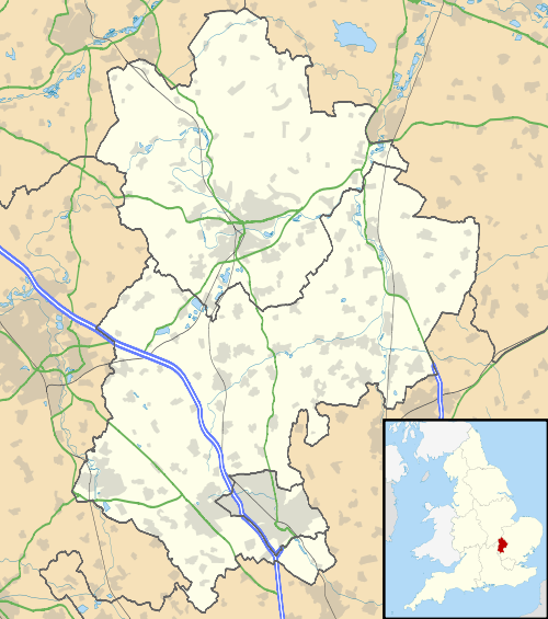
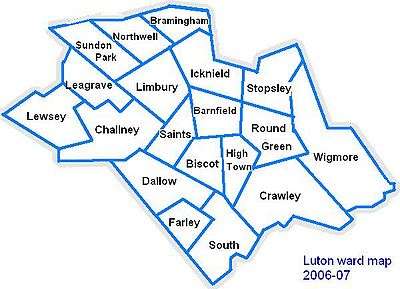
Icknield is a ward in the town of Luton, Bedfordshire, England. The area takes its name from the Icknield Way, a pre-Roman road which passes through Luton. Situated towards the northeast of Luton, the area is mainly built up residential, but there is a protected area of marshland next to the high school that serves this area and the surrounding areas, Icknield High School.
Politics
Icknield ward is represented by Cllr Michael Garrett (Conservative) and Cllr John Titmuss (Conservative).
The ward forms part of the parliamentary constituency of Luton North, and the MP is Kelvin Hopkins (Labour). Icknield is within the East of England (European Parliament constituency).
Local Attractions
| Key | |
| | Abbey/Priory/Cathedral |
| | Accessible open space |
| | Amusement/Theme Park |
| | Castle |
| | Country Park |
| | English Heritage |
| | Forestry Commission |
| | Heritage railway |
| | Historic House |
| | Museum (free/not free) |
| | National Trust |
| | Theatre |
| | Zoo |
Local Newspapers
Two weekly newspapers are delivered free to all the houses in Icknield. However they are not specific to Icknield. They are:
- Herald and Post - Delivered every Thursday
- The Luton and Dunstable Express- Delivered every Wednesday
References
- ↑ .