Huncoat
| Huncoat | |
 St Augustine's Church, Huncoat |
|
 Huncoat |
|
| Population | 4,418 (2011 CensusWard) |
|---|---|
| OS grid reference | SD775305 |
| District | Hyndburn |
| Shire county | Lancashire |
| Region | North West |
| Country | England |
| Sovereign state | United Kingdom |
| Post town | ACCRINGTON |
| Postcode district | BB5 |
| Dialling code | 01254 |
| Police | Lancashire |
| Fire | Lancashire |
| Ambulance | North West |
| EU Parliament | North West England |
| UK Parliament | Hyndburn |
|
|
Coordinates: 53°46′12″N 2°20′24″W / 53.770°N 2.340°W
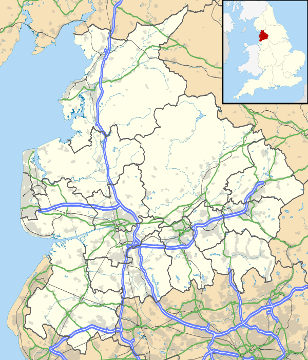
Huncoat is a small village in Lancashire, England; situated in the North West. It is located to the east of Accrington. It is a ward of Hyndburn where the population taken at the 2011 census was 4,418.[1]
Huncoat railway station is on the East Lancashire Line.
History
The name is of Anglo-Saxon origin where Hun, or Hunna was a family name and Cotte is an Old English name for a shelter for animals.[2] The brief details of the Blackburnshire hundred in the Domesday survey, mention Huncoat with King Edward holding two carucates of land here.[3]
Governance
Huncoat was once a township in the ancient parish of Whalley, this became a civil parish in 1866, forming part of the Burnley Rural District from 1894. However in 1929 the parish was abolished and the area became part of Accrington Municipal Borough (until 1974).[4] It has since become an unparished part of the borough of Hyndburn.
People
- Harold Davenport, mathematician
- Hollie Steel, child soprano
- Diana Vickers, an actress, singer-songwriter and fashion designer[5]
References
Citations
- ↑ "Hyndburn ward population 2011". Retrieved 19 January 2016.
- ↑ Ekwall, Eilert (1922). The place-names of Lancashire. Manchester University Press. pp. 91,9. Retrieved 23 January 2016.
- ↑ "Domesday Book Online". domesdaybook.co.uk. Retrieved 18 August 2015.
- ↑ "Huncoat Tn/CP through time". visionofbritain.org.uk. GB Historical GIS / University of Portsmouth. Retrieved 31 August 2015.
- ↑ "X Factor star to tour". Accrington Observer. MEN Media. 2009-12-30. Retrieved 2010-01-02.
Bibliography
- John Goddard, Huncoat Uncoated, Landy Publishing, 2004 ISBN 1-872895-64-6
External links
| Wikimedia Commons has media related to Huncoat. |