Hovin, Sør-Trøndelag
| Hovin | |
|---|---|
| Village | |
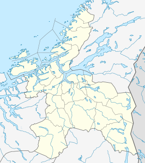 Hovin  Hovin Location in Sør-Trøndelag | |
| Coordinates: 63°06′19″N 10°13′25″E / 63.10528°N 10.22361°ECoordinates: 63°06′19″N 10°13′25″E / 63.10528°N 10.22361°E | |
| Country | Norway |
| Region | Trøndelag |
| County | Sør-Trøndelag |
| Districts of Norway | Gauldalen |
| Municipality | Melhus |
| Area[1] | |
| • Total | 0.46 km2 (0.18 sq mi) |
| Elevation[2] | 80 m (260 ft) |
| Population (2013)[1] | |
| • Total | 669 |
| • Density | 1,454/km2 (3,770/sq mi) |
| Time zone | CET (UTC+01:00) |
| • Summer (DST) | CEST (UTC+02:00) |
| Post Code | 7236 Hovin i Gauldal |
Hovin is a village in the municipality of Melhus in Sør-Trøndelag county, Norway. It is located along the Gaula River between the villages of Støren and Lundamo. The 0.46-square-kilometre (110-acre) village has a population (2013) of 669. The population density of Hovin is 1,454 inhabitants per square kilometre (3,770/sq mi).[1][3]
Hovin Station is located in the village along the Dovrebanen railway line, but only used for local traffic. The European route E6 highway also runs through the village. Hovin has several distinct terraces in the hillsides, which is remnants of old shorelines following the end of the ice age.
References
- 1 2 3 Statistisk sentralbyrå (1 January 2013). "Urban settlements. Population and area, by municipality.".
- ↑ "Hovin" (in Norwegian). yr.no. Retrieved 2011-03-18.
- ↑ Store norske leksikon. "Hovin – tettsted i Melhus kommune" (in Norwegian). Retrieved 2011-03-18.
This article is issued from Wikipedia - version of the 8/5/2016. The text is available under the Creative Commons Attribution/Share Alike but additional terms may apply for the media files.