Hostie
| Hostie | |
| Village | |
| Country | Slovakia |
|---|---|
| Region | Nitra |
| District | Zlaté Moravce |
| Elevation | 225 m (738 ft) |
| Coordinates | SK 48°27′00″N 18°26′15″E / 48.45000°N 18.43750°ECoordinates: SK 48°27′00″N 18°26′15″E / 48.45000°N 18.43750°E |
| Area | 28.17 km2 (10.876 sq mi) |
| Population | 1,186 (2011) |
| Density | 42/km2 (109/sq mi) |
| First mentioned | 1382 |
| Postal code | 951 94 |
| Car plate | ZM |
  Location of Hostie in Slovakia | |
  Location of Hostie in the Nitra Region | |
| Wikimedia Commons: Tesárske Mlyňany | |
| Statistics: MOŠ/MIS | |
| Website: www.hostie.sk | |
Hostie is a village and municipality in Zlaté Moravce District of the Nitra Region, in western-central Slovakia.
History
In historical records the village was first mentioned in 1332.
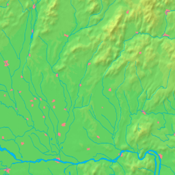
Geography
The municipality lies at an altitude of 290 metres and covers an area of 28.17 km². It has a population of about 1211 people.
Ethnicity
The population is roughly 99% Slovak.
Facilities
The village has a small public library a gym and football pitch.
Genealogical resources
The records for genealogical research are available at the state archive "Statny Archiv in Nitra, Slovakia"
- Roman Catholic church records (births/marriages/deaths): 1762-1895 (parish B)
See also
External links
This article is issued from Wikipedia - version of the 10/8/2014. The text is available under the Creative Commons Attribution/Share Alike but additional terms may apply for the media files.