Hongjiang District
| Hongjiang District 洪江管理区 | |
|---|---|
| District | |
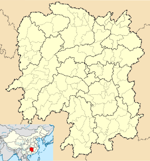 Hongjiang Admin. Dist. Location in Hunan | |
| Coordinates: 27°06′42″N 110°00′41″E / 27.1116°N 110.0114°ECoordinates: 27°06′42″N 110°00′41″E / 27.1116°N 110.0114°E[1] | |
| Country | People's Republic of China |
| Province | Hunan |
| Prefecture-level city | Huaihua |
| Area[2] | |
| • Total | 115.09 km2 (44.44 sq mi) |
| Population (2010)[3] | |
| • Total | 64,960 |
| • Density | 560/km2 (1,500/sq mi) |
| Time zone | China Standard (UTC+8) |
Hongjiang District (simplified Chinese: 洪江管理区; traditional Chinese: 洪江管理區; pinyin: Hóngjiāng Guǎnlǐ Qū) is a special district that is part of Hongjiang City, and is a division of Huaihua, Hunan province, China.
History
Hongjiang City was merged with Qianyang County (黔阳县; 黔陽縣) to form the new Hongjiang in 1997. However, the residents of the old Hongjiang City resisted this merge. In 1999, the old Hongjiang was separated from the new Hongjiang City and form a special Hongjiang District.
References
- ↑ Google (2014-07-02). "Hebin Road Subdistrict Office" (Map). Google Maps. Google. Retrieved 2014-07-02.
- ↑ Huaihua City Land Use Plan (2006–20)/《怀化市土地利用总体规划(2006-2020年)》.(Chinese) Accessed 8 July 2014.
- ↑ "怀化市2010年第六次全国人口普查主要数据公报" (in Chinese). Huaihua Statistical Bureau/怀化市统计局. Retrieved 9 July 2014.
External links
- Official website of Hongjiang District
- (Chinese) Introduction to Hongjiang District, official website of Huaihua government.
This article is issued from Wikipedia - version of the 11/29/2015. The text is available under the Creative Commons Attribution/Share Alike but additional terms may apply for the media files.