Hohwart
| Hohwart | |
|---|---|
|
The Hohwart from the Vogtjockeleshof to the southeast. | |
| Highest point | |
| Elevation | 1,123 m above sea level (NHN) (3,684 ft) |
| Prominence | 46 Schaenzenhausle |
| Coordinates | 47°56′40.49″N 8°3′36.68″E / 47.9445806°N 8.0601889°ECoordinates: 47°56′40.49″N 8°3′36.68″E / 47.9445806°N 8.0601889°E |
| Geography | |
 Hohwart | |
| Parent range | Black Forest |
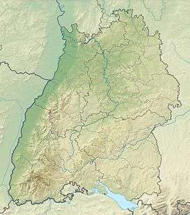
The Hohwart is a mountain near the village of Breitnau in the Black Forest in the German state of Baden-Wurttemberg. It is 1,123 metres high.
The Hohwart lies on an east-west ridge behind Breitnau. To the south the ridge slopes down over cattle pasture to the Breitnau bowl. To the north the slopes are wooded and descend towards the valley of the Griesdobelbach. The ridge continues northwest to the Otten (1040 m). Just over 1 km to the east is the Roßberg (1125 m) and 3 km to the east, across the Oberbach valley, is the highest mountain in Breitnau municipality: the Weißtannenhöhe (1190 m).
There is a bench and viewing point on the highest point of the Hohwart with good all round views. There are also signs of a schanze, part of a 300-year-old line of fortified earthworks that formed part of the Duchy of Baden's defences against the French.
A local footpath runs along the ridgeline and past the summit to the inn of Schaenzenhauesle.
About 500 metres southwest of the summit is a wind-powered generator in the saddle between the Hohwart and the Haldenbuck (1090 m) to the south.