Hohenkirchen, Thuringia
| Hohenkirchen | ||
|---|---|---|
| ||
 Hohenkirchen | ||
Location of Hohenkirchen within Gotha district 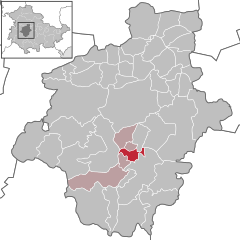
 | ||
| Coordinates: 50°50′55″N 10°42′4″E / 50.84861°N 10.70111°ECoordinates: 50°50′55″N 10°42′4″E / 50.84861°N 10.70111°E | ||
| Country | Germany | |
| State | Thuringia | |
| District | Gotha | |
| Municipal assoc. | Apfelstädtaue | |
| Government | ||
| • Mayor | Jürgen Beese (CDU) | |
| Area | ||
| • Total | 6.80 km2 (2.63 sq mi) | |
| Population (2015-12-31)[1] | ||
| • Total | 701 | |
| • Density | 100/km2 (270/sq mi) | |
| Time zone | CET/CEST (UTC+1/+2) | |
| Postal codes | 99887 | |
| Dialling codes | 036253 | |
| Vehicle registration | GTH | |
| Website | www.hk.apfelstaedtaue.de | |
.png)
Hohenkirchen is a municipality in the district of Gotha, in Thuringia, Germany.
References
This article is issued from Wikipedia - version of the 8/27/2016. The text is available under the Creative Commons Attribution/Share Alike but additional terms may apply for the media files.