Hjelledalstind
| Hjelledalstind | |
|---|---|
 Morka-Koldedalen, with Hjelledalstind (left) and Falketind (right). | |
| Highest point | |
| Elevation | 1,989 m (6,526 ft) [1][2] |
| Prominence | 695 m (2,280 ft) [2] |
| Coordinates | 61°22′06″N 8°05′53″E / 61.3682°N 8.098°ECoordinates: 61°22′06″N 8°05′53″E / 61.3682°N 8.098°E |
| Geography | |
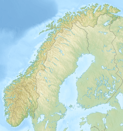 Hjelledalstind Norway | |
| Location | Årdal, Sogn og Fjordane, Norway |
| Parent range | Jotunheimen |
| Topo map | 1517 I Tyin |
| Climbing | |
| First ascent | 1884 Carl Hall, Mathias Soggemoen |
Hjelledalstind is a mountain in the municipality of Årdal in Sogn og Fjordane county, Norway, in the Jotunheimen mountain range.
It was first climbed in 1884 by Carl Hall and Mathias Soggemoen.[1]
References
- 1 2 Henriksen, Petter (ed.). "Hjelledalstind". Store norske leksikon (in Norwegian). Oslo: Kunnskapsforlaget. Retrieved 28 September 2011.
- 1 2 Røyne, Eivind (1985). Fjell i Norge over 1800 meter (in Norwegian). Oslo.
This article is issued from Wikipedia - version of the 12/6/2015. The text is available under the Creative Commons Attribution/Share Alike but additional terms may apply for the media files.