Hillaby, Barbados
| Hillaby | |
|---|---|
| Town | |
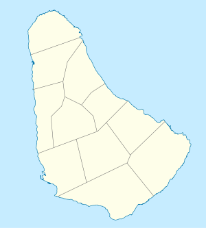 Hillaby Location on a map of Barbados parishes | |
| Coordinates: 13°12′07″N 59°35′00″W / 13.20194°N 59.58333°WCoordinates: 13°12′07″N 59°35′00″W / 13.20194°N 59.58333°W[1] | |
| Country | Barbados |
| Parish | Saint Thomas |
| Population (2012)[2] | |
| • Total | 478 |
| Time zone | Eastern Caribbean Time Zone (UTC-4) |
| Area code(s) | +1 246 |
Hillaby is a community on the borders of parishes Saint Thomas and Saint Andrew in Barbados. Historically it has always been referred to as Hillaby in St. Thomas [3] it is the top third of the village which is in St. Andrew, with the greater area in St. Thomas.
References
- ↑ "Bathsheba, Barbados". Google Maps. Retrieved 9 December 2012.
- ↑ "World Gazetteer World Gazetteer". Archived from the original on 11 January 2013.
- ↑ Sir Robert Hermann Schomburgk (1848). The History of Barbados: Comprising a Geographical and Statistical Description of the Island; a Sketch of the Historical Events Since the Settlement; and an Account of Its Geology and Natural Productions. Longman, Brown, Green and Longmans. pp. 703–.
This article is issued from Wikipedia - version of the 11/8/2016. The text is available under the Creative Commons Attribution/Share Alike but additional terms may apply for the media files.