High Etherley
| High Etherley | |
 St. Cuthbert's church, High Etherley |
|
 High Etherley |
|
| OS grid reference | NZ165892 |
|---|---|
| Shire county | County Durham |
| Region | North East |
| Country | England |
| Sovereign state | United Kingdom |
| Police | Durham |
| Fire | County Durham and Darlington |
| Ambulance | North East |
| EU Parliament | North East England |
|
|
Coordinates: 54°39′05″N 1°44′40″W / 54.651421°N 1.7444201°W
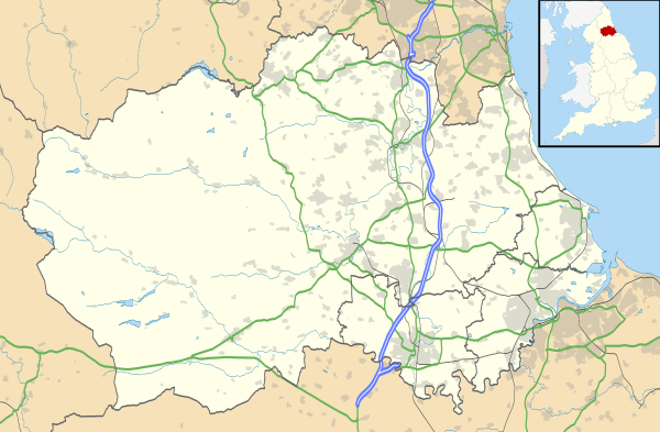
High Etherley is a village in County Durham, England.[1] It is situated on a hill approximately 4 miles west of Bishop Auckland. Entering High Etherley on the A68 from West Auckland the village continues on the B6282 towards Bishop Auckland.
High Etherley is in the civil parish of Etherley. The population of the parish at the United Kingdom 2011 census was 2,060.[2]
High Etherley has two places of worship, St Cuthberts Church and a Methodist Chapel. There are two public houses, the Three Tuns and the Dog and Gun. The village also hosts the Etherley Cricket Club.
See also
References
- ↑ Ordnance Survey: Landranger map sheet 92 Barnard Castle & Richmond (Teesdale) (Map). Ordnance Survey. 2011. ISBN 9780319228982.
- ↑ "Area: Etherley (Parish), Key Figures for 2011 Census". Neighbourhood Statistics. Office for National Statistics. Retrieved 21 March 2016.
| Wikimedia Commons has media related to High Etherley. |
This article is issued from Wikipedia - version of the 9/29/2016. The text is available under the Creative Commons Attribution/Share Alike but additional terms may apply for the media files.