Hermannsdalstinden
| Hermannsdalstinden | |
|---|---|
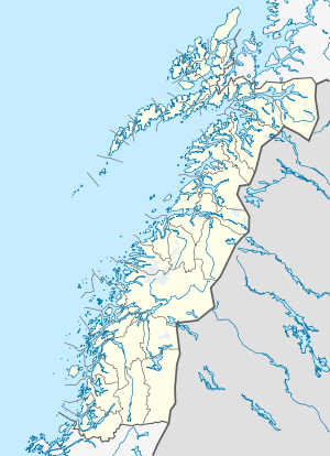 Hermannsdalstinden Location in Nordland | |
| Highest point | |
| Elevation | 1,029 m (3,376 ft) |
| Prominence | 1,029 m (3,376 ft) |
| Isolation | 86.5 kilometres (53.7 mi) |
| Coordinates | 67°56′31″N 12°56′16″E / 67.94194°N 12.93778°ECoordinates: 67°56′31″N 12°56′16″E / 67.94194°N 12.93778°E |
| Geography | |
| Location | Nordland, Norway |
| Topo map | 1830 I Lofotodden |
Hermannsdalstinden is the highest mountain on the island of Moskenesøya. It is located in the Lofoten archipelago in the municipality of Moskenes in Nordland county, Norway. The 1,029-metre (3,376 ft) tall mountain lies on the west side of the island, about 6.5 kilometres (4.0 mi) west of the municipal centre of Reine.[1] There's a cabin, Munkebu Hut, that is used as an overnight base camp for summiting Hermannsdalstinden. The hike from Munkebu Hut Hermannsdalstinden summit takes about 6-8 hour round trip.[2]
References
- ↑ Store norske leksikon. "Hermannsdalstinden" (in Norwegian). Retrieved 2012-06-13.
- ↑ Villanueva, Adonis (2016-04-07). "Hiking Lofoten's Hermannsdalstinden Summit in Norway". Always Wanderlust. Retrieved 2016-08-13.
This article is issued from Wikipedia - version of the 8/13/2016. The text is available under the Creative Commons Attribution/Share Alike but additional terms may apply for the media files.