Heligoland lighthouse
 | |
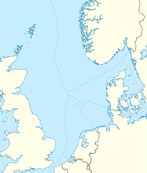 | |
| Location | Heligoland, German Bight |
|---|---|
| Coordinates | 54°10′54.7″N 7°52′56.3″E / 54.181861°N 7.882306°ECoordinates: 54°10′54.7″N 7°52′56.3″E / 54.181861°N 7.882306°E |
| Year first constructed |
1811 (first) 1901 (second) |
| Year first lit | 1952 (current) |
| Construction | reinforced concrete with brick veneer |
| Tower shape | square parallelepiped tower with balcony and lantern |
| Markings / pattern | unpainted red bricks, white observation room and lantern |
| Height |
35 metres (115 ft) (current) 18 metres (59 ft) (first) 36 metres (118 ft) (second) |
| Focal height | 82 metres (269 ft) |
| Original lens | Rotator with 3 converging lenses |
| Intensity | 35 Mcd |
| Range | 28 nautical miles (52 km) |
| Characteristic | FL 5s |
| Admiralty number | B1312 |
| NGA number | 10136 |
| ARLHS number | FED-101 |
Heligoland lighthouse (German: Leuchtturm Helgoland) is located on Germany's only offshore island, Heligoland. Constructed during World War II as an anti-aircraft tower, it was turned into a lighthouse in 1952. It features the strongest light on the German North Sea coast with a range of 28 nautical miles (52 km) so that it can be seen as far as on the East Frisian or the North Frisian islands and Halligen. The lighthouse is operated by the Tönning water and shipping authority.
History

The first lighthouse on Heligoland was built by Trinity House in 1811, when Heligoland was under British rule.[1] The so-called "English lighthouse" (englischer Leuchtturm) was 67 metres (220 ft) above mean sea level. It constituted an important aid to navigation in the German Bight because its light was visible roughly twice as far as that of Cuxhaven Lighthouse, which had been established a few years before. The English lighthouse was torn down soon after the inauguration of a new building in 1902. The lantern and optics of the English lighthouse were moved to Fehmarn island in the Baltic Sea where they were mounted at Staberhuk lighthouse and are still in use today.[1]
The construction of the new lighthouse was ordered by the Prussian administration in 1902. This lighthouse was in service from 1902 until its war-time destruction in 1945. It was built as a round brick tower from the same plans as the Cape Arkona light on Rügen in the Baltic Sea. During a bombing raid on Heligoland on 18 April 1945 by the Royal Air Force this lighthouse was destroyed and the keeper was killed.[2]
In 1941 a square-shaped anti-aircraft tower made of heavily reinforced concrete had been built on Heligoland.[1] It was the only building to survive the detonation[2] of 6,700 tonnes of explosives by the Royal Navy on the island on 18 April 1947 which was meant to destroy the military facilities and bunkers inside the rock of the island.[3] In 1952 this tower was modified to serve as a makeshift lighthouse. The current shape with a brick veneer was formed in a 1965 renovation.[1] Later a radar sensor, Marine and mobile radio telephony devices and an electric beacon were added on top of the lantern house.
Optics and characteristic
The light characteristic of the current Heligoland lighthouse is one flash every 5 seconds (FL 5s). The range is 28 nautical miles[1][2] and is comparably high for the lighthouses of the German North Sea coast.
The English lighthouse of 1811 was equipped with Argand lamps and reflectors.
The optics of the current lighthouse were modernised in 1963. The device is made up of three converging lenses in two planes which are mounted with an angular separation of 120° on an electric rotator. These lenses have a focus of 250 millimetres (9.8 in) and are lit by a 2,000 Watts xenon arc lamp.[2] With a light intensity of 35 million candela Heligoland is the strongest light along the German North Sea coast.[4] Since 1982 the smaller lighthouse on Düne Island, off the main island of Heligoland, is remotely operated from Heligoland lighthouse.
The Wilhelmshaven water and shipping authority uses Heligoland lighthouse as a relay radio station to regulate ship traffic in the eastern German Bight.
See also
References
- 1 2 3 4 5 Rowlett, Russ. "Lighthouses of Germany: North Frisia". The Lighthouse Directory. University of North Carolina at Chapel Hill.
- 1 2 3 4 "Leuchtturm — Hochseeinsel Helgoland". leuchtturmwelt.de (in German).
- ↑ Haake, Gregor (13 April 2007). "Der Tag, an dem Helgoland der Megabombe trotzte" (in German). Spiegel Online. Retrieved 19 June 2011.
- ↑ "Leuchtturm Helgoland". Unterweser maritim (in German). Top Regio Werbeagentur.
External links
 Media related to Heligoland lighthouse at Wikimedia Commons
Italics indicate inactive sites. | ||
| North Sea |  | |
| Baltic Sea | ||
| Lake Constance | ||