Hawstead
| Hawstead, Suffolk | |
 All Saints Church, Hawstead |
|
 Hawstead, Suffolk |
|
| Population | 134 (2011 Census)[1] |
|---|---|
| Shire county | Suffolk |
| Region | East |
| Country | England |
| Sovereign state | United Kingdom |
| Post town | Bury St Edmunds |
| Postcode district | IP29 |
| EU Parliament | East of England |
Coordinates: 52°11′53″N 0°43′08″E / 52.198°N 0.719°E
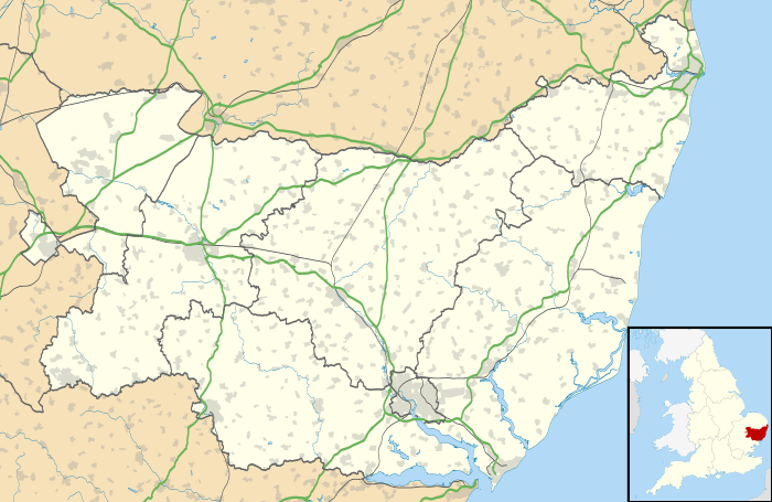
Hawstead is a small village in Suffolk, England. It is located 5 kilometres (3 mi) south of Bury St. Edmunds between the B1066 and A134 roads, in a fork formed by the River Lark and a small tributary.
Hawstead Place, previously the seat of the Drury family, is now a farmhouse. Sir William Drury was sheriff and knight of the shire for Suffolk.
Demography
According to the Office for National Statistics, at the time of the United Kingdom Census 2001, Hawstead had a population of 334 with 121 households.[2] falling to a population of 134 in 56 households at the 2011 Census.
Population change
| Population growth in Hawstead from 1801 to 1891 | ||||||||||
|---|---|---|---|---|---|---|---|---|---|---|
| Year | 1801 | 1811 | 1821 | 1831 | 1841 | 1851 | 1881 | 1891 | ||
| Population | 392 | 409 | 404 | 414 | 457 | 520 | 321 | 325 | ||
| Source: A Vision of Britain Through Time[3] | ||||||||||
| Population growth in Hawstead from 1901 to 2001 | |||||||||||
|---|---|---|---|---|---|---|---|---|---|---|---|
| Year | 1901 | 1911 | 1921 | 1931 | 1951 | 1961 | 2001 | 2011 | |||
| Population | 297 | 292 | 266 | 228 | 256 | 248 | 334 | 134 | |||
| Source: A Vision of Britain Through Time[3] | |||||||||||
Location grid
 |
Horringer | Nowton | Rushbrooke | |
| Whepstead | |
Great Whelnetham | ||
| ||||
| | ||||
| Brockley | Lawshall | Stanningfield |
References
- ↑ "Civil Parish population 2011". Neighbourhood Statistics. Office for National Statistics. Retrieved 22 August 2016.
- ↑ "Suffolk County Council - 2001 Census Profiles" (PDF). Retrieved 2011-02-22.
- 1 2 "A Vision of Britain Through Time". University of Portsmouth & others. Retrieved 2011-02-22.
External links
![]() Media related to Hawstead at Wikimedia Commons
Media related to Hawstead at Wikimedia Commons
This article is issued from Wikipedia - version of the 8/22/2016. The text is available under the Creative Commons Attribution/Share Alike but additional terms may apply for the media files.