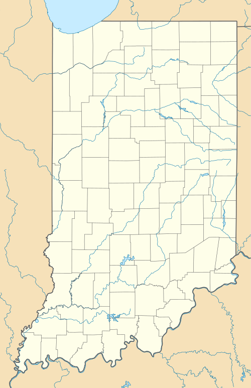
Harper, Indiana
| Harper | |
|---|---|
| Unincorporated Community | |
 Harper  Harper Location in Indiana | |
| Coordinates: 39°08′38″N 85°35′35″W / 39.144°N 85.593°WCoordinates: 39°08′38″N 85°35′35″W / 39.144°N 85.593°W |
Harper is an unincorporated community in Decatur County, Indiana, in the United States. It was also called Bigrest.[1]
History
The first post office, called Bigrest, opened in 1881.[2] Renamed Harper in 1882, the post office was discontinued in 1907.[3]
References
- ↑ U.S. Geological Survey Geographic Names Information System: Harper, IndianaHarper (GNIS FID: 435761) is a populated place located within the Township of Sandcreek, a minor civil division (MCD) of Decatur County. The elevation of Harper is 781 feet. Harper appears on the Westport U.S. Geological Survey Map. Decatur County is in the Eastern Time Zone (UTC -5 hours). Time Zone: Harper lies in the Eastern Time Zone (EST/EDT) and observes daylight saving time. The area code for Harper: (812)
- ↑ Baker, Ronald L. (October 1995). From Needmore to Prosperity: Hoosier Place Names in Folklore and History. Indiana University Press. p. 158. ISBN 978-0-253-32866-3.
A post office established as Bigrest on August 3, 1881...
- ↑ "Decatur County". Jim Forte Postal History. Retrieved 31 August 2014.
This article is issued from Wikipedia - version of the 10/24/2016. The text is available under the Creative Commons Attribution/Share Alike but additional terms may apply for the media files.