Hampton Hill Historic District
|
Hampton Hill Historic District | |
|
Congregational Church | |
  | |
| Location | Main St., Old Route 6, Cedar Swamp Rd., Hampton, Connecticut |
|---|---|
| Coordinates | 41°46′57″N 72°3′19″W / 41.78250°N 72.05528°WCoordinates: 41°46′57″N 72°3′19″W / 41.78250°N 72.05528°W |
| Architect | Multiple |
| Architectural style | Mid 19th Century Revival, Early Republic, Colonial |
| NRHP Reference # | 82004408[1] |
| Added to NRHP | September 23, 1982 |
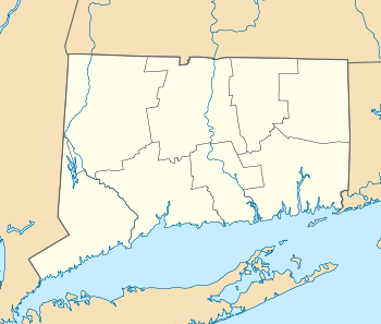
The Hampton Hill Historic District encompasses the historic village center of Hampton, Connecticut, a small rural community in Windham County. It is a linear district, extending for about 1 mile (1.6 km) along Connecticut Route 97, the major north-south route through the town. The area was settled in the 18th century, but experienced its most significant growth in the 19th century. Most of the district's 62 historic buildings were built in the 19th century, with fifteen houses surviving from the 18th. Architecturally, they represent a cross-section of styles popular from the mid-18th to early 20th centuries, with vernacular forms most commonly found. One of the oldest buildings is a c. 1727 tavern, since converted to a private residence.[2]
The district was listed on the National Register of Historic Places in 1982.[1]
See also
References
- 1 2 National Park Service (2009-03-13). "National Register Information System". National Register of Historic Places. National Park Service.
- ↑ "NRHP nomination for Hampton Hill Historic District" (PDF). National Park Service. Retrieved 2015-01-09.