Hamma Hamma River
| Hamma Hamma River | |
| Country | United States |
|---|---|
| State | Washington |
| County | Mason |
| Source | Olympic Mountains |
| - coordinates | 47°34′1″N 123°19′5″W / 47.56694°N 123.31806°W [1] |
| Mouth | Hood Canal |
| - coordinates | 47°32′44″N 123°2′30″W / 47.54556°N 123.04167°WCoordinates: 47°32′44″N 123°2′30″W / 47.54556°N 123.04167°W [1] |
| Discharge | for near Eldon |
| - average | 364.4 cu ft/s (10.3 m3/s) [2] |
| - max | 6,010 cu ft/s (170.2 m3/s) |
| - min | 39 cu ft/s (1.1 m3/s) |
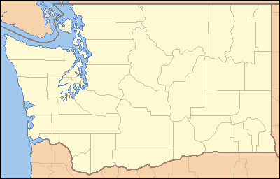 Location of the mouth of the Hamma Hamma River in Washington | |
The Hamma Hamma River is a river on the Olympic Peninsula in the U.S. state of Washington. It rises near Mount Washington in the Olympic Mountains within the Olympic National Park and drains to Hood Canal and thence to the Pacific Ocean.
The name Hamma Hamma comes from a Twana village once located at the river's mouth and called Hab'hab, referring to a reed that grows along the river's banks.[3]
See also
References
- 1 2 U.S. Geological Survey Geographic Names Information System: Hamma Hamma River
- ↑ "Historical data, water years 1951-1971, for USGS gage 12054500, Hamma Hamma River near Eldon, WA". USGS. Retrieved 3 August 2009.
- ↑ Phillips, James W. (1971). Washington State Place Names. University of Washington Press. ISBN 0-295-95158-3.
External links
This article is issued from Wikipedia - version of the 9/11/2016. The text is available under the Creative Commons Attribution/Share Alike but additional terms may apply for the media files.