Hamedan International Airport
| Hamedan International Airport | |||||||||||
|---|---|---|---|---|---|---|---|---|---|---|---|
| IATA: HDM – ICAO: OIHH | |||||||||||
| Summary | |||||||||||
| Airport type | Civil | ||||||||||
| Operator | Civil Government | ||||||||||
| Serves | Hamadan | ||||||||||
| Location | Hamadan, Iran | ||||||||||
| Elevation AMSL | 5,755 ft / 1,754 m | ||||||||||
| Coordinates | 34°52′09″N 048°33′09″E / 34.86917°N 48.55250°E | ||||||||||
| Map | |||||||||||
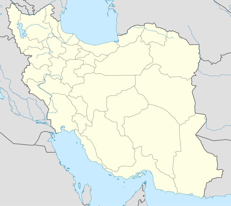 HDM Location of airport in Iran | |||||||||||
| Runways | |||||||||||
| |||||||||||
Hamedan International Airport (Persian: فرودگاه بین المللی همدان) is an airport in Hamadan, Iran (IATA: HDM, ICAO: OIHH).
The significance of this airport is the unusual shape of the runway. The runway goes uphill for the first half and downhill the second half.
Scheduled services
| Airlines | Destinations |
|---|---|
| Kish Air | Kish Island |
References
This article is issued from Wikipedia - version of the 11/27/2016. The text is available under the Creative Commons Attribution/Share Alike but additional terms may apply for the media files.