Haitón del Guarataro
| Haitón del Guarataro | |
|---|---|
|
Entrance shaft of Haitón del Guarataro | |
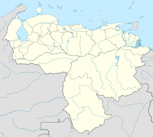 Location of Haitón del Guarataro within Venezuela | |
| Location | Falcón State, Venezuela |
| Coordinates | 11°08′59″N 69°41′23″W / 11.149748°N 69.689774°WCoordinates: 11°08′59″N 69°41′23″W / 11.149748°N 69.689774°W |
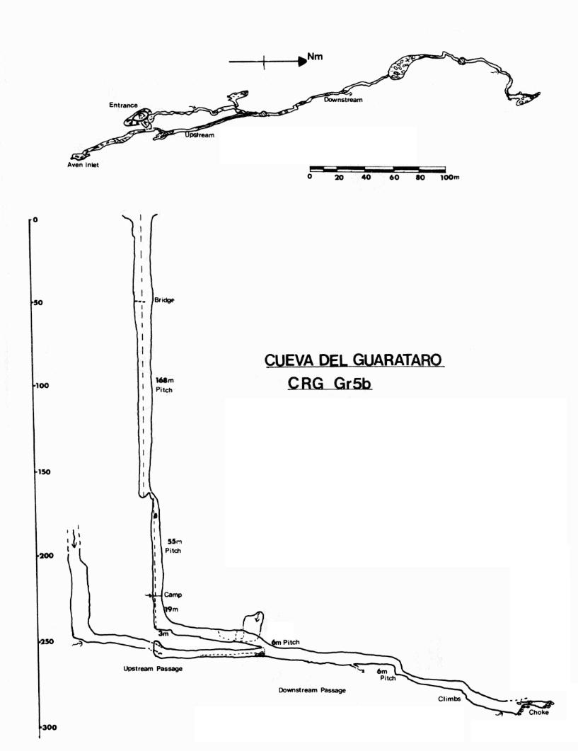
| Depth | 305 metres (1,001 ft) |
| Length | 640 metres (2,100 ft) |
| Elevation | 1,000 metres (3,300 ft) |
| Discovery | April 1973 |
| Geology | Oligocene limestone |
| Entrances | 1 |
| Hazards | Verticality |
| Cave survey | BKRE 1973 |

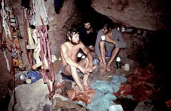
The Haitón del Guarataro is a solutional cave system in the Sierra de San Luis in Falcón State, Venezuela, 2.5 kilometres (1.6 mi) south-east of Curimagua. It is the deepest limestone cave in Venezuela,[1] and the entrance is a tourist attraction within the Juan Crisóstomo Falcón National Park.[2] A large entrance shaft 12 metres (39 ft) in diameter leads via drops of 168 metres (551 ft), 55 metres (180 ft), and 19 metres (62 ft) to a stream passage which eventually chokes. It has a depth of 305 metres (1,001 ft), and a total passage length of 640 metres (2,100 ft). It was first explored and surveyed in April 1973 by members of the Venezuela '73 British Karst Research Expedition.[3] It is formed in Oligocene reefal limestone.[4]
References
- ↑ Herrera, Francisco; et alia (2006). "Sociedad Venezolana de Espeleología 2007.". Boletín de la Sociedad Venezolana de Espeleología. 40: 5–11. Retrieved 3 February 2016.
- ↑ Kohn, Beth (2007). Lonely Planet Venezuela. Lonely Planet. p. 154. Retrieved 3 February 2016.
- ↑ Chapman, Phil; Checkley, Dave (March 1981). "Caves of the Serrania de San Luis, Edo Falcon: The British Karst Research Expedition to Venezuela, 1973" (PDF). Transactions of the British Cave Research Association. 8 (1): 1–26. Retrieved 24 December 2013.
- ↑ Gunn, John (editor) (2004). Encyclopedia of Caves and Karst Science (PDF). London: Fitzroy Dearborn. p. 110. ISBN 1579583997. Retrieved 3 February 2016.
External links
| Wikimedia Commons has media related to Haitón del Guarataro. |