Gyari
| Gyari | |
|---|---|
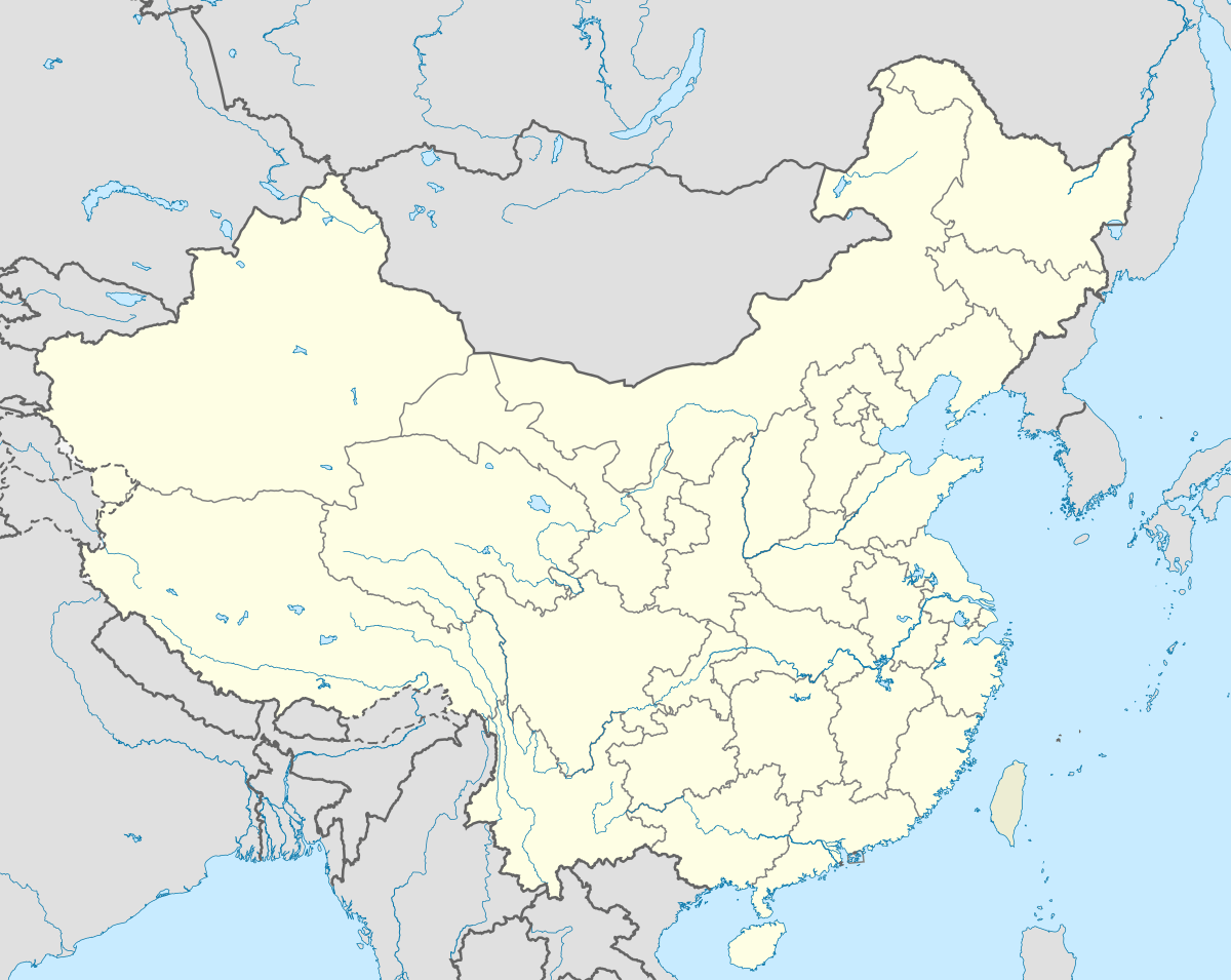 Gyari Location within Tibet | |
| Coordinates: *)_region:CN 30°23′N 96°34′E / 30.383°N 96.567°E | |
| Country | China |
| Region | Tibet |
| Prefecture | Chamdo Prefecture |
| Nearby settlements (distance) |
Baimai 23.6 mi (38 km) |
| Elevation | 5,036 m (16,525 ft) |
| Population | |
| • Total | 328 * |
| • Major Nationalities | Tibetan |
| • Regional dialect | Tibetan language |
| Time zone | +8 |
Gyari is a village in the Chamdo Prefecture in the eastern Tibet Autonomous Region of China It lies at an altitude of 5,036 metres (16,525 feet).
The village is located some 50 kilometres (30 mi) east of Baimai.
The village has a population of about 328.
See also
External links and references
Coordinates: 30°23′N 96°34′E / 30.383°N 96.567°E

References
This article is issued from Wikipedia - version of the 2/10/2016. The text is available under the Creative Commons Attribution/Share Alike but additional terms may apply for the media files.