Guinea Grass
- For the grass "Guinea grass" see Panicum maximum
| Guinea Grass | |
|---|---|
 Guinea Grass | |
| Coordinates: 17°58′5″N 88°35′44″W / 17.96806°N 88.59556°W | |
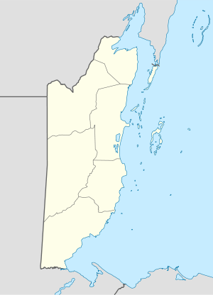
| Country |
|
| District | Orange Walk District |
| guinea grass by creols,mestizos,english | year 1763 |
| Population (3,500) | |
| • Total | 3,500(est.) |
| • Density | 2/km2 (3.5/sq mi) |
| Time zone | Central (UTC-6) |
| Climate | Am |
Guinea Grass is a village in the Orange Walk District of the nation of Belize. It is 38 metres (127 feet) above sea level. According to the 2000 census, Guinea Grass Town had a population of 2,510 people; the 2010 census gave the population as 3,500. The village has a community of Mennonites, Mestizo, Creoles, and East Indians (Hindu and Arabs). There are a number of Taiwanese and other Central American immigrants living near or immediately in the settlement.
Origin of Name
There are two stories which explain the origin of the village's name. The first is that East Indians settled in the area and began to plant and cultivate bananas. The locals knew banana in Spanish as "Guineo" and from there it morphed into "Guineal" and then because "Guinea Grass". The other version is that there was an Englishman by the name of "Chichiri Price" that lived in a farm on the northern outskirts of the village. He was an agent for the Belize Estate Company; raising livestock. In order to feed the livestock he had grass imported. The grass that he imported was Guinea Grass,(Megathyrsus maximus). The locals then began to call the community Guinea Grass after the imported grass.
Climate
Guinea Grass has a tropical monsoon climate (Köppen: Am).
| Climate data for Guinea Grass | |||||||||||||
|---|---|---|---|---|---|---|---|---|---|---|---|---|---|
| Month | Jan | Feb | Mar | Apr | May | Jun | Jul | Aug | Sep | Oct | Nov | Dec | Year |
| Daily mean °C (°F) | 22.5 (72.5) |
23.8 (74.8) |
24.8 (76.6) |
26.5 (79.7) |
27.3 (81.1) |
27.1 (80.8) |
26.4 (79.5) |
26.4 (79.5) |
26.6 (79.9) |
25.8 (78.4) |
23.6 (74.5) |
23.2 (73.8) |
25.3 (77.5) |
| Average precipitation mm (inches) | 97 (3.82) |
49 (1.93) |
47 (1.85) |
40 (1.57) |
104 (4.09) |
228 (8.98) |
175 (6.89) |
168 (6.61) |
263 (10.35) |
220 (8.66) |
135 (5.31) |
90 (3.54) |
1,616 (63.6) |
| Source: Climate-Data.org[1] | |||||||||||||
Language
The village is predominantly a Mestizo community and the preferred language of communication is Spanish. English is taught at the primary school and Creole is spoken by some. German is spoken by the neighbouring Mennonite community.
Coordinates: 17°58′5″N 88°35′44″W / 17.96806°N 88.59556°W
References
- ↑ "Climate: Guinea Grass". Climate-Data.org. Retrieved 12 April 2014.