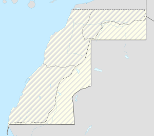
Guerguerat
| Guerguerat | |
|---|---|
 Guerguerat | |
| Coordinates: 21°25′34″N 16°57′31″W / 21.42611°N 16.95861°WCoordinates: 21°25′34″N 16°57′31″W / 21.42611°N 16.95861°W | |
| Territory | Western Sahara |
| Claimed by |
Kingdom of Morocco |
| Controlled by | Morocco |
| Elevation | 20 m (70 ft) |
| Population (2009) | |
| • Total | 28 |
Guerguerat (Arabic: گرگرات) is a small village in the far south west of Western Sahara, 11 km from the border with Mauritania and 5 km from the Atlantic Ocean. The village is under the control of Morocco. The Moroccan passport control stamp bears the name of Bir Gandouz, a nearby village. Morocco sees this frontier post as the southernmost barrier protecting the European Union.[1]
The area between the Moroccan frontier post and the Mauritanian frontier is seen by Morocco as a no man's land and by the Polisario as part of the RASD.
In January 2015, the Polisario established a military presence in Laguera on the seaside, but apparently did not yet start controlling passports of people transiting to Mauritania.[2]
References
- ↑ "Clandestins : Le Maroc, verrou sud de l'Europe – Valeurs actuelles". Retrieved 24 October 2016.
- ↑ "لكويرة تحت سيطرة الجيش الصحراوي بالتنسيق مع موريتانيا". Retrieved 24 October 2016.
This article is issued from Wikipedia - version of the 10/24/2016. The text is available under the Creative Commons Attribution/Share Alike but additional terms may apply for the media files.