Guargualé
| Guargualé | |
|---|---|
|
A general view of the village | |
 Guargualé | |
|
Location within Corsica region 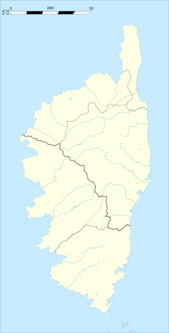 Guargualé | |
| Coordinates: 41°50′13″N 8°55′39″E / 41.8369°N 8.9275°ECoordinates: 41°50′13″N 8°55′39″E / 41.8369°N 8.9275°E | |
| Country | France |
| Region | Corsica |
| Department | Corse-du-Sud |
| Arrondissement | Ajaccio |
| Canton | Santa-Maria-Siché |
| Government | |
| • Mayor (2008–2014) | Charles Casanova |
| Area1 | 10.61 km2 (4.10 sq mi) |
| Population (2008)2 | 118 |
| • Density | 11/km2 (29/sq mi) |
| Time zone | CET (UTC+1) |
| • Summer (DST) | CEST (UTC+2) |
| INSEE/Postal code | 2A132 / 20128 |
| Elevation |
72–794 m (236–2,605 ft) (avg. 400 m or 1,300 ft) |
|
1 French Land Register data, which excludes lakes, ponds, glaciers > 1 km² (0.386 sq mi or 247 acres) and river estuaries. 2 Population without double counting: residents of multiple communes (e.g., students and military personnel) only counted once. | |

Guargualé is a commune in the Corse-du-Sud department of France on the island of Corsica.
Population
| Historical population | ||
|---|---|---|
| Year | Pop. | ±% |
| 1962 | 145 | — |
| 1968 | 166 | +14.5% |
| 1975 | 146 | −12.0% |
| 1982 | 104 | −28.8% |
| 1990 | 69 | −33.7% |
| 1999 | 109 | +58.0% |
| 2008 | 118 | +8.3% |
See also
References
| Wikimedia Commons has media related to Guargualé. |
This article is issued from Wikipedia - version of the 1/28/2015. The text is available under the Creative Commons Attribution/Share Alike but additional terms may apply for the media files.