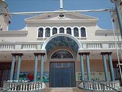
Guanta
| Guanta | |||
|---|---|---|---|
 | |||
| |||
 Guanta | |||
| Coordinates: 10°14′18″N 64°35′30″W / 10.23833°N 64.59167°WCoordinates: 10°14′18″N 64°35′30″W / 10.23833°N 64.59167°W | |||
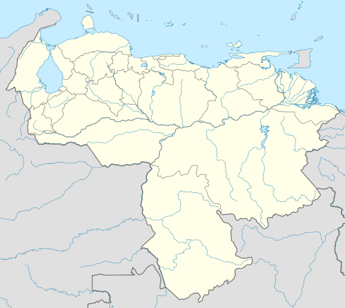
| Country |
| ||
| State | Anzoátegui | ||
| Municipality | Guanta Municipality | ||
| Founded | 1594 | ||
| Area | |||
| • Total | 67 km2 (26 sq mi) | ||
| Elevation | 14 m (46 ft) | ||
| Population (2001) | |||
| • Total | 35,000 | ||
| • Demonym | Guanteño/a | ||
| Time zone | VST | ||
| Postal code | 6014 | ||
| Area code(s) | 0281 | ||
| Climate | BSh | ||


Guanta is the capital and largest city of Guanta Municipality. Together with Barcelona, Puerto La Cruz and Lechería it forms a conurbation of around 1.2m inhabitants.
The town is named for the cacique Guantar of the Cumanagoto people, the indigenous inhabitants of the area at the time of the Spanish conquest. Formally founded in 1594, it was already an indigenous settlement before this time.
References
External links
-
 Media related to Guanta at Wikimedia Commons
This article is issued from Wikipedia - version of the 12/1/2016. The text is available under the Creative Commons Attribution/Share Alike but additional terms may apply for the media files.