Grovabreen
| Grovabreen | |
|---|---|
 | |
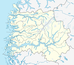 Location in Sogn og Fjordane county | |
| Location | Sogn og Fjordane, Norway |
| Coordinates | 61°29′33″N 06°31′18″E / 61.49250°N 6.52167°ECoordinates: 61°29′33″N 06°31′18″E / 61.49250°N 6.52167°E |
| Area | 20 km2 (7.7 sq mi) |
The Grovabreen glacier is located in Sogn og Fjordane county, Norway. It covers an area of about 20 square kilometres (7.7 sq mi) in the municipalities of Førde and Jølster in the Sunnfjord region. The highest point on the glacier sits at an elevation of 1,636 metres (5,367 ft) above sea level. The glacier is part of Jostedalsbreen National Park, just south of the lake Jølstravatnet. The village of Skei lies about 8 kilometres (5.0 mi) north of the glacier and the village of Haukedalen lies about 9 kilometres (5.6 mi) southwest of the glacier. The Jostefonn glacier lies about 5 kilometres (3.1 mi) to the south of this glacier; both are located at the north end of the Gaularfjellet mountains.[1]
References
- ↑ Henriksen, Petter (ed.). "Grovabreen". Store norske leksikon (in Norwegian). Oslo: Kunnskapsforlaget. Retrieved 27 August 2011.
This article is issued from Wikipedia - version of the 2/1/2015. The text is available under the Creative Commons Attribution/Share Alike but additional terms may apply for the media files.