Grindstone Mountain (Nevada)
| Grindstone Mountain | |
|---|---|
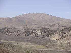 Grindstone Mountain, with the South Fork Humboldt River in the foreground | |
| Highest point | |
| Elevation | 7,382 ft (2,250 m) NAVD 88[1] |
| Prominence | 1,197 ft (365 m) [2] |
| Coordinates | 40°41′52″N 115°54′16″W / 40.69785°N 115.90456°WCoordinates: 40°41′52″N 115°54′16″W / 40.69785°N 115.90456°W [1] |
| Geography | |
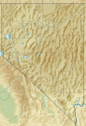 Grindstone Mountain Nevada, U.S. | |
| Location | Elko County, Nevada, U.S. |
| Parent range | Elko Hills |
| Topo map | USGS Grindstone Mountain |
| Climbing | |
| Easiest route | A dirt road (high clearance required) leads northwest from Bullion Road (Elko County Route 720) to radio facilities on the summit[2] |
Grindstone Mountain is a mountain in the Elko Hills of Elko County, in Nevada, United States.[2] The summit contains several radio towers.[2]
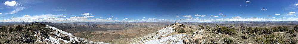
360-degree panorama from the summit of Grindstone Mountain
References
- 1 2 "Grindstone". NGS data sheet. U.S. National Geodetic Survey. Retrieved 2015-04-23.
- 1 2 3 4 "Grindstone Mountain". SummitPost.org. Retrieved 2015-04-23.
| Wikimedia Commons has media related to Grindstone Mountain. |
This article is issued from Wikipedia - version of the 3/29/2016. The text is available under the Creative Commons Attribution/Share Alike but additional terms may apply for the media files.