Green Point, Cape Town
| Green Point | |
|---|---|
|
An aerial view of Green Point from the Atlantic Ocean side with Signal Hill clearly visible in the centre of the picture. | |
 Street map of Green Point | |
 Green Point  Green Point  Green Point
| |
|
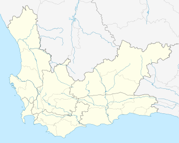
Location within Cape Town 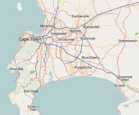 Green Point | |
| Coordinates: 33°54′S 18°24′E / 33.900°S 18.400°ECoordinates: 33°54′S 18°24′E / 33.900°S 18.400°E | |
| Country | South Africa |
| Province | Western Cape |
| Municipality | City of Cape Town |
| Main Place | Cape Town |
| Area[1] | |
| • Total | 2.01 km2 (0.78 sq mi) |
| Population (2011)[1] | |
| • Total | 5,362 |
| • Density | 2,700/km2 (6,900/sq mi) |
| Racial makeup (2011)[1] | |
| • Black African | 23.3% |
| • Coloured | 10.9% |
| • Indian/Asian | 2.2% |
| • White | 60.9% |
| • Other | 2.8% |
| First languages (2011)[1] | |
| • English | 67.6% |
| • Afrikaans | 15.2% |
| • Xhosa | 3.2% |
| • Zulu | 1.2% |
| • Other | 12.8% |
| Postal code (street) | 8051 |
| PO box | 8005 |
| Area code | 021 |

Green Point (Afrikaans: Groenpunt) is an affluent suburb of Cape Town, South Africa located to the north west of the central business district. It is a popular residential area for young professionals and for the Cape Town gay and lesbian community, incorporating the gay village of De Waterkant. Many new mid-rise apartment and mixed-use developments have gone up in recent years. Somerset Road forms the main thoroughfare lined by numerous restaurants, cafés, boutiques and nightclubs.
The Cape Town Stadium was constructed on Green Point Common for the 2010 FIFA World Cup. Numerous infrastructural developments were made, with the upgrade to Helen Suzman Boulevard and the new Granger Bay Boulevard being constructed, along with a massive investment in creating an urban park around the stadium.
Places of interest
External links
| Wikimedia Commons has media related to Green Point, Cape Town. |
References
- 1 2 3 4 "Sub Place Green Point". Census 2011.
.svg.png)