Grade II* listed buildings in Bath and North East Somerset

Bath and North East Somerset (commonly referred to as BANES or B&NES) is a unitary authority created on 1 April 1996, following the abolition of the County of Avon, which had existed since 1974.[1] Part of the ceremonial county of Somerset, Bath and North East Somerset occupies an area of 220 square miles (570 km2), two-thirds of which is green belt.[2] It stretches from the outskirts of Bristol, south into the Mendip Hills and east to the southern Cotswold Hills and Wiltshire border.[2] The city of Bath is the principal settlement in the district, but BANES also covers Keynsham, Midsomer Norton, Radstock and the Chew Valley. The area has a population of 170,000, about half of whom live in Bath, making it 12 times more densely populated than the rest of the area.[2]
In the United Kingdom, the term listed building refers to a building or other structure officially designated as being of special architectural, historical, or cultural significance; Grade II* structures are those considered to be "particularly significant buildings of more than local interest".[3] Listing was begun by a provision in the Town and Country Planning Act 1947. Once listed, strict limitations are imposed on the modifications allowed to a building's structure or fittings. In England, the authority for listing under the Planning (Listed Buildings and Conservation Areas) Act 1990[4] rests with Historic England, a non-departmental public body sponsored by the Department for Culture, Media and Sport; local authorities have a responsibility to regulate and enforce the planning regulations.
Bath and North East Somerset has 212 Grade II* listed buildings.
Buildings
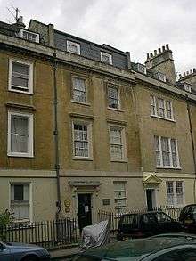
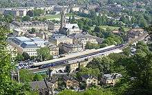
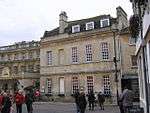
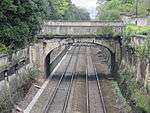
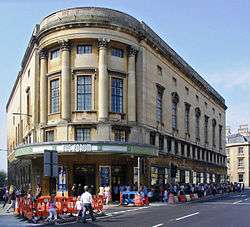
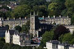
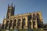
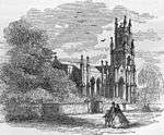
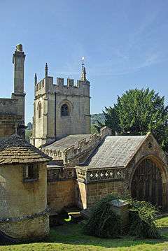
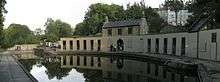
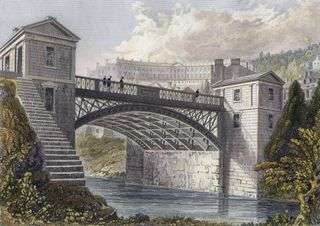
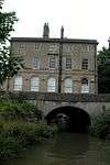
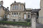
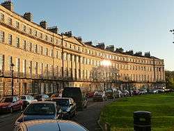
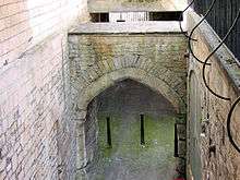
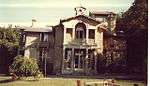
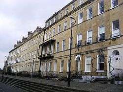
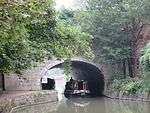
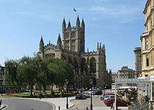
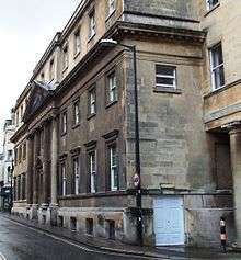
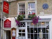
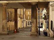
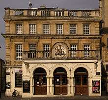
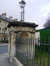
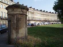
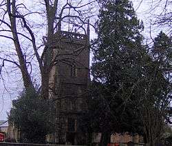
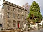
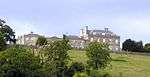
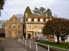
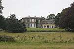
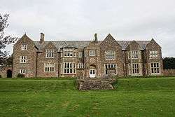
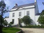
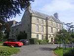
Bath


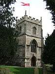
.jpg)
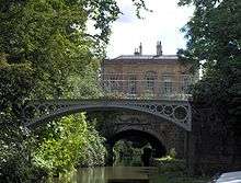


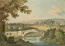


.jpg)

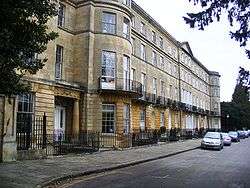

.jpg)


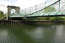


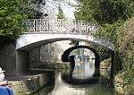
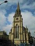
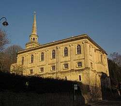
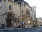
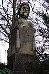
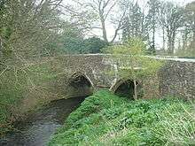
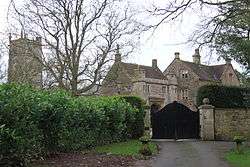
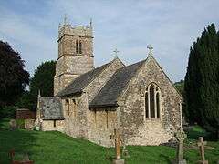
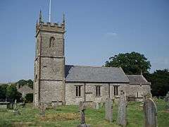
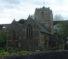
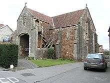
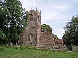
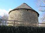
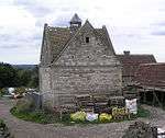
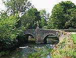
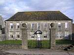
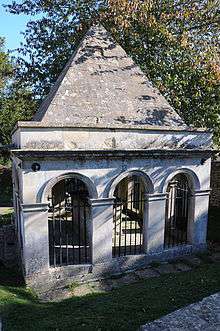
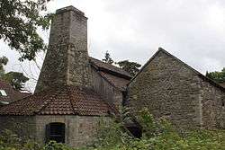
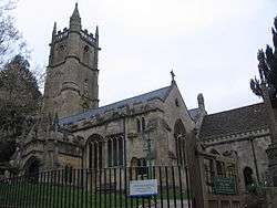
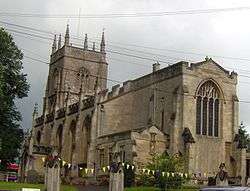
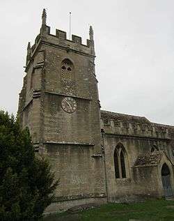
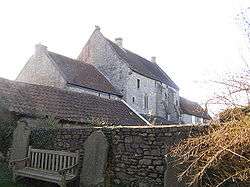
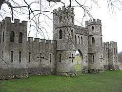
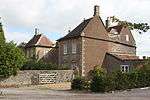
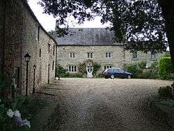
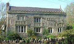
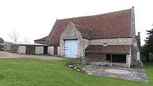
North East Somerset
Listed buildings in North East Somerset, outside Bath:
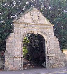


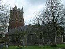


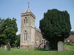
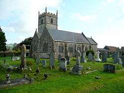
_St_Lawrence_Church_-_geograph.org.uk_-_67844.jpg)
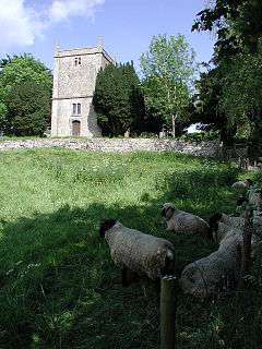
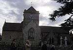
_St_Margaret's_Church_-_geograph.org.uk_-_67838.jpg)
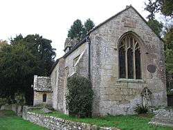

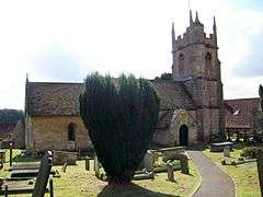
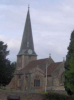
_St_Mary's_Church_-_geograph.org.uk_-_67846.jpg)
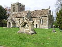
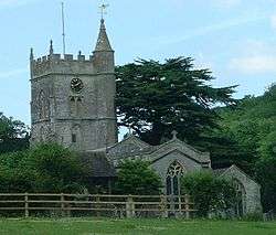
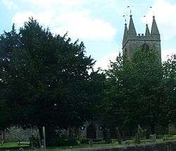
_St_Mary's_Church_-_geograph.org.uk_-_67849.jpg)


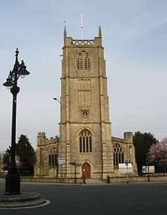
.jpg)
See also
Notes
- 1 2 The date given is the date used by Historic England as significant for the initial building or that of an important part in the structure's description.
- 1 2 Sometimes known as OSGB36, the grid reference is based on the British national grid reference system used by the Ordnance Survey.
- 1 2 The "List Entry Number" is a unique number assigned to each listed building and scheduled monument by Historic England.
References
- ↑ "The Avon (Structural Change) Order 1995". Her Majesty's Stationery Office (HMSO). Retrieved 9 December 2007.
- 1 2 3 "About the area". Bath and North East Somerset Council. Archived from the original on 4 November 2007. Retrieved 30 December 2007.
- ↑ "What is a listed building?". Manchester City Council. Retrieved 8 December 2007.
- ↑ "Planning (Listed Buildings and Conservation Areas) Act 1990 (c. 9)". Ministry of Justice. Retrieved 17 December 2007.
- ↑ Historic England. "Archway on Street at The Entrance to Park House (1384632)". National Heritage List for England. Retrieved 3 April 2015.
- ↑ Historic England. "Barn, coach-house, stables, pig-sties and outbuilding (1214532)". National Heritage List for England. Retrieved 3 April 2015.
- ↑ Historic England. "Barn, to north east of St Catherine's Court (1277073)". National Heritage List for England. Retrieved 6 July 2015.
- ↑ Historic England. "Barn to south west of Court Farmhouse (1288592)". National Heritage List for England. Retrieved 3 April 2015.
- ↑ Historic England. "Batheaston House (1320532)". National Heritage List for England. Retrieved 3 April 2015.
- ↑ Historic England. "Bridge over River Chew (1129649)". National Heritage List for England. Retrieved 3 April 2015.
- ↑ Historic England. "Chapel Farmhouse (1288604)". National Heritage List for England. Retrieved 3 April 2015.
- ↑ Historic England. "Chew Court (1320739)". National Heritage List for England. Retrieved 3 April 2015.
- ↑ Historic England. "Church of All Saints (1135797)". National Heritage List for England. Retrieved 3 April 2015.
- ↑ Historic England. "Church of All Saints (1136439)". National Heritage List for England. Retrieved 3 April 2015.
- ↑ Historic England. "Church of St Andrew (1129632)". National Heritage List for England. Retrieved 3 April 2015.
- ↑ Historic England. "Church of St Augustine (1320766)". National Heritage List for England. Retrieved 3 April 2015.
- ↑ Historic England. "Church of St Catherine (1277121)". National Heritage List for England. Retrieved 3 April 2015.
- ↑ Historic England. "Church of St James (1277046)". National Heritage List for England. Retrieved 3 April 2015.
- ↑ Historic England. "Church of St John The Baptist (1136127)". National Heritage List for England. Retrieved 3 April 2015.
- ↑ Historic England. "Church of St John the Baptist (1384628)". National Heritage List for England. Retrieved 3 April 2015.
- ↑ Historic England. "Church of St Laurence (1312831)". National Heritage List for England. Retrieved 3 April 2015.
- ↑ Historic England. "Church of St Lawrence (1129527)". National Heritage List for England. Retrieved 3 April 2015.
- ↑ Historic England. "Church of St Leonard (1320735)". National Heritage List for England. Retrieved 3 April 2015.
- ↑ Historic England. "Church of St Margaret (1115380)". National Heritage List for England. Retrieved 3 April 2015.
- ↑ Historic England. "Church of St Martin (1215229)". National Heritage List for England. Retrieved 3 April 2015.
- ↑ Historic England. "Church of St Mary (1214255)". National Heritage List for England. Retrieved 3 April 2015.
- ↑ Historic England. "Church of St Mary (1320443)". National Heritage List for England. Retrieved 3 April 2015.
- ↑ Historic England. "Church of St Mary (1136164)". National Heritage List for England. Retrieved 3 April 2015.
- ↑ Historic England. "Church of St Mary (1136209)". National Heritage List for England. Retrieved 3 April 2015.
- ↑ Historic England. "Church of St Mary (1232679)". National Heritage List for England. Retrieved 3 April 2015.
- ↑ Historic England. "Church of St Mary (1312706)". National Heritage List for England. Retrieved 3 April 2015.
- ↑ Historic England. "Church of St Mary The Virgin (1129594)". National Heritage List for England. Retrieved 3 April 2015.
- ↑ Historic England. "Church of St Nicholas (1136442)". National Heritage List for England. Retrieved 3 April 2015.
- ↑ Historic England. "Church of St Peter (1320777)". National Heritage List for England. Retrieved 3 April 2015.
- ↑ Historic England. "Church of St Thomas a Becket (1136393)". National Heritage List for England. Retrieved 3 April 2015.
- ↑ Historic England. "Church of The Holy Ghost (1115202)". National Heritage List for England. Retrieved 3 April 2015.
- ↑ Historic England. "Church of the Holy Trinity (1129501)". National Heritage List for England. Retrieved 3 April 2015.
- ↑ Historic England. "Church of the Holy Trinity (1320745)". National Heritage List for England. Retrieved 3 April 2015.
- ↑ Historic England. "Council Offices (1115164)". National Heritage List for England. Retrieved 3 April 2015.
- ↑ Historic England. "Court Farmhouse (1214263)". National Heritage List for England. Retrieved 3 April 2015.
- ↑ Historic England. "Dovecot to Manor Farm, with Terrace Walling (1394117)". National Heritage List for England. Retrieved 3 April 2015.
- ↑ "Dovecote, 100 Yards to Rear of Manor House". National heritage list for England. English Heritage. Retrieved 14 July 2013.
- ↑ Historic England. "Dovecote, to South West of St Nicholas' Church (1288368)". National Heritage List for England. Retrieved 6 July 2015.
- ↑ Historic England. "Eagle House and the Old Maltings (1115272)". National Heritage List for England. Retrieved 3 April 2015.
- ↑ "Eagle House including balustrade 2 yards in front of south elevation". National heritage list for England. English Heritage. Retrieved 28 August 2013.
- ↑ Historic England. "Freshford Manor (1115308)". National Heritage List for England. Retrieved 3 April 2015.
- ↑ "Garden building, 100 yards to south of Bathampton Lodge". National heritage list for England. English Heritage. Retrieved 28 August 2013.
- ↑ Historic England. "Gournay Court (1129581)". National Heritage List for England. Retrieved 3 April 2015.
- ↑ Historic England. "Hinton House (1136140)". National Heritage List for England. Retrieved 3 April 2015.
- ↑ Historic England. "Iford Bridge (1115316)". National Heritage List for England. Retrieved 3 April 2015.
- ↑ Historic England. "Kelston Park and adjoining service wing and coach house and south retaining wall (1215080)". National Heritage List for England. Retrieved 3 April 2015.
- ↑ Historic England. "Lyons Court Farmhouse (1136453)". National Heritage List for England. Retrieved 3 April 2015.
- ↑ Historic England. "Manor Farmhouse (1312963)". National Heritage List for England. Retrieved 3 April 2015.
- ↑ Historic England. "Manor House (1115381)". National Heritage List for England. Retrieved 3 April 2015.
- ↑ Historic England. "Manor House (1158529)". National Heritage List for England. Retrieved 3 April 2015.
- ↑ Historic England. "Manorthorpe and Gardenthorpe (1158028)". National Heritage List for England. Retrieved 3 April 2015.
- ↑ Historic England. "Mausoleum to Ralph Allen, in churchyard to south of St Mary's Church (1214536)". National Heritage List for England. Retrieved 6 July 2015.
- ↑ Historic England. "No. 39 Bailbrook House (1394890)". National Heritage List for England. Retrieved 3 April 2015.
- ↑ Historic England. "Norman archway in garden wall to rear of number 83 (Vicarage) (1115176)". National Heritage List for England. Retrieved 3 April 2015.
- ↑ Historic England. "Old Brass Mill (1384676)". National Heritage List for England. Retrieved 3 April 2015.
- ↑ Historic England. "Old School Room (1135935)". National Heritage List for England. Retrieved 3 April 2015.
- ↑ Historic England. "Parish Church of St John The Baptist (1320501)". National Heritage List for England. Retrieved 3 April 2015.
- ↑ Historic England. "Parish Church of St John The Baptist (1320561)". National Heritage List for England. Retrieved 3 April 2015.
- ↑ Historic England. "Parish Church of St Nicholas (1320551)". National Heritage List for England. Retrieved 3 April 2015.
- ↑ Historic England. "Church of St Peter (1115302)". National Heritage List for England. Retrieved 3 April 2015.
- ↑ Historic England. "Parish's House (1135909)". National Heritage List for England. Retrieved 6 July 2015.
- ↑ Historic England. "Pine House (1137651)". National Heritage List for England. Retrieved 3 April 2015.
- ↑ Historic England. "Rectory Farmhouse (1129645)". National Heritage List for England. Retrieved 3 April 2015.
- ↑ Historic England. "Retaining wall and central flight of steps, immediately to north east of St Catherine's Court (1277187)". National Heritage List for England. Retrieved 6 July 2015.
- ↑ Historic England. "Retaining walls and garden walls, enclosing west terrace and bowling green terrace, including central flight of steps to north west of St Catherine's Court (1232373)". National Heritage List for England. Retrieved 6 July 2015.
- ↑ Historic England. "Rock House (1138297)". National Heritage List for England. Retrieved 3 April 2015.
- ↑ Historic England. "Saltford Manor House (1384672)". National Heritage List for England. Retrieved 3 April 2015.
- ↑ Historic England. "Sham Castle (1312449)". National Heritage List for England. Retrieved 3 April 2015.
- ↑ Historic England. "Stable Block and Coach House (1129477)". National Heritage List for England. Retrieved 3 April 2015.
- ↑ Historic England. "Sutton Court (1129576)". National Heritage List for England. Retrieved 3 April 2015.
- ↑ Historic England. "The Beeches (1129620)". National Heritage List for England. Retrieved 3 April 2015.
- ↑ Historic England. "The Court (1136188)". National Heritage List for England. Retrieved 3 April 2015.
- ↑ Historic England. "The Grey House (1277076)". National Heritage List for England. Retrieved 3 April 2015.
- ↑ Historic England. "The Manor House (The Sacred Heart Convent High School) (1129609)". National Heritage List for England. Retrieved 3 April 2015.
- ↑ Historic England. "The Old Parsonage (1136471)". National Heritage List for England. Retrieved 3 April 2015.
- ↑ Historic England. "The Priory (1115160)". National Heritage List for England. Retrieved 3 April 2015.
- ↑ Historic England. "The Rectory (1320747)". National Heritage List for England. Retrieved 3 April 2015.
- ↑ Historic England. "The Stables, The Old Chapel and the Remains of The Chapel, Walls enclosing Stableyard, Coach House and Greenhouse to Midford Castle (1277080)". National Heritage List for England. Retrieved 3 April 2015.
- ↑ Historic England. "Tithe Barn and Adjoining Stable and Dovecote and Horse Engine House (1277026)". National Heritage List for England. Retrieved 3 April 2015.
- ↑ Historic England. "Tithe Barn attached to south end of rectory farmhouse (1136116)". National Heritage List for England. Retrieved 3 April 2015.
- ↑ Historic England. "Walls enclosing a Garden between The Gatehouse and Stables (1365665)". National Heritage List for England. Retrieved 3 April 2015.
- ↑ Historic England. "Walls, Retaining Walls, Gates, Gatepiers and Central Flight of Steps, enclosing Garden and Terraces, to South of Manor Farmhouse (1214533)". National Heritage List for England. Retrieved 3 April 2015.
- ↑ Historic England. "Warleigh Manor School (1157904)". National Heritage List for England. Retrieved 3 April 2015.
- ↑ Historic England. "Watercress Cottage (1115367)". National Heritage List for England. Retrieved 3 April 2015.
- ↑ Historic England. "Wellow House, including Boundary Wall, Gate and Two Pairs of Gatepiers to road (1158552)". National Heritage List for England. Retrieved 3 April 2015.
- ↑ Historic England. "Welton Manor House (1136842)". National Heritage List for England. Retrieved 3 April 2015.
- ↑ Historic England. "Whitehaven (1137983)". National Heritage List for England. Retrieved 3 April 2015.
- ↑ Historic England. "108 and 110, Northend (1115244)". National Heritage List for England. Retrieved 3 April 2015.
- ↑ Historic England. "15, The Batch (1312374)". National Heritage List for England. Retrieved 3 April 2015.
- ↑ Historic England. "37, Priory Close (1115178)". National Heritage List for England. Retrieved 3 April 2015.
External links
![]() Media related to Grade II* listed buildings in Somerset at Wikimedia Commons
Media related to Grade II* listed buildings in Somerset at Wikimedia Commons