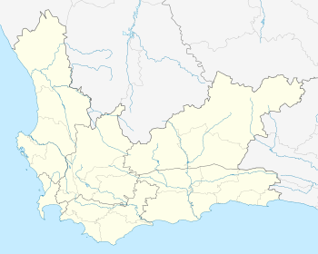
Gouritsmond
| Gouritsmond | |
|---|---|
| Nickname(s): "Die Mond" | |
 Gouritsmond  Gouritsmond  Gouritsmond
| |
| Coordinates: 34°20′59″S 21°52′43″E / 34.34972°S 21.87861°ECoordinates: 34°20′59″S 21°52′43″E / 34.34972°S 21.87861°E | |
| Country | South Africa |
| Province | Western Cape |
| District | Eden |
| Municipality | Hessequa |
| Area[1] | |
| • Total | 3.24 km2 (1.25 sq mi) |
| Population (2011)[1] | |
| • Total | 515 |
| • Density | 160/km2 (410/sq mi) |
| Racial makeup (2011)[1] | |
| • Black African | 5.3% |
| • Coloured | 54.5% |
| • Indian/Asian | 0.4% |
| • White | 39.5% |
| • Other | 0.4% |
| First languages (2011)[1] | |
| • Afrikaans | 93.0% |
| • English | 3.3% |
| • Tswana | 1.4% |
| • Other | 2.3% |
| Postal code (street) | 6696 |
| PO box | 6696 |
| Area code | 028 |
Gouritsmond is a small coastal town in the Hessequa Local Municipality, under the Eden District Municipality in the Western Cape province of South Africa.
The Gourits River mouths here into the Indian Ocean. "Die Mond", as it is nicknamed, is a popular fishing location.
References
- 1 2 3 4 "Main Place Gouritsmond". Census 2011.
This article is issued from Wikipedia - version of the 10/2/2016. The text is available under the Creative Commons Attribution/Share Alike but additional terms may apply for the media files.
.svg.png)