Gouraya National Park
| Gouraya National Park | |
|---|---|
|
IUCN category II (national park) | |
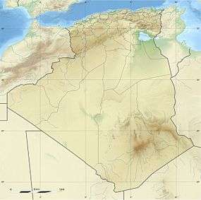 | |
| Location | Béjaïa Province, Algeria |
| Nearest city | Béjaïa |
| Coordinates | 36°46′N 5°6′E / 36.767°N 5.100°ECoordinates: 36°46′N 5°6′E / 36.767°N 5.100°E |
| Area | 20.8 km2 (8.0 sq mi) |
| Established | 1984 |
| Visitors | 60.000 (in 2005) |
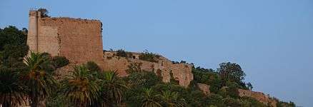
The national park of Gouraya (Arabic: الحديقة الوطنية قورايا) is one of the coastal national parks of Algeria. It is located in Béjaïa Province, near the shrine of Sidi Touati.
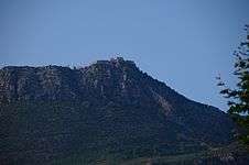
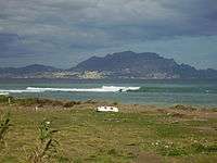
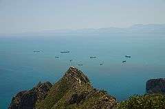
The park is north-east of Béjaïa, close to the city. The park includes the 660 meter (2.165 feet) high mountain of Gouraya, from which the park got its name, in addition to many beaches and cliffs, which make the park a swimming destination for many Algerians.
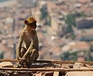
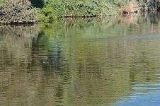
It is a UNESCO-recognized biosphere reserve,[1] with a varied flora and fauna, including Barbary macaques and jackals who live in the forests in this park. The Barbary macaque is a primate with a very restricted range in portions of northwestern North Africa and disjunctively in Gibraltar.[2]
Gallery
Notes
References
- C. Michael Hogan (2008) Barbary Macaque: Macaca sylvanus, Globaltwitcher.com, ed. Nicklas Stromberg
- UNESCO Biosphere Reserve: Gouraya National Park (2006)
External links
- (French) Official website
- Park data on UNEP-WPMC
This article is issued from Wikipedia - version of the 11/19/2016. The text is available under the Creative Commons Attribution/Share Alike but additional terms may apply for the media files.