Gomshall
Coordinates: 51°13′16″N 0°26′53″W / 51.221°N 0.448°W
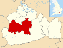
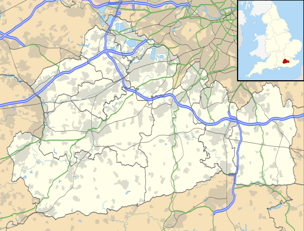
Gomshall is a village in the borough of Guildford in Surrey, England.[1]
It is located on the A25, roughly halfway between Guildford and Dorking, and within Shere civil parish,[2] which according to the 2001 Census had a population of 3,359.[3] At the 2011 Census the population was included in the civil parish of Shere. Other neighbouring villages include Albury, Abinger Hammer and Sutton Abinger.
The River Tillingbourne flows through Gomshall, while the North Downs Way passes just to the north. The village also has a railway station, served by First Great Western trains running between Reading and Redhill.
History
The Manor of Gumesele was a Saxon feudal landholding that originally included the present day Gomshall.[4]
Gomshall appears in Domesday Book of 1086 as Gomeselle. It was held by William the Conqueror. Its domesday assets were: 1 mill worth 3s 4d, 20 ploughs, 3 acres (12,000 m2) of meadow, woodland worth 30 hogs. It rendered £30.[5]
In 1154, Henry II of England divided the Manor of Gumesele into three: West Gomshall, East Gomshall and Somersbury. In 1240, West Gomshall was granted to the Cistercian Abbey of Netley in Hampshire and became known as Gomshall Netley. East Gomshall was granted to the Abbey of St Mary Graces, Tower Hill, London in 1376 and became known as Gomshall Towerhill.
For the 1380 poll tax, Gomshall had 267 names registered. The occupations written beside the names show land-holders and the usual country crafts but also a high proportion of skills relating to the wool trade; there were spinners and weavers, fullers and pelterers and many tailors. At this time one of the Gomshall manors was held by the Abbey of Netley near Southampton.[6]
Local industries developed based on the plentiful and constant water supply of the River Tillingbourne. Those that survived into the 20th century, but are now gone, were corn milling, watercress growing, and leather tanning. Gomshall Mill was the corn mill. Netley Mill pumped water for the Hurtwood Water Company for part of its existence.
See also
References
- ↑ OS Explorer map 145:Guildford and Farnham. Scale: 1:25 000. Publisher:Ordnance Survey – Southampton. ISBN 978 0319239261
- ↑ Shere parish council
- ↑ "Parish Headcounts, 2001". Neighbourhood Statistics. Retrieved 2007-02-23.
- ↑ Ewhurst History Society
- ↑ Surrey Domesday Book
- ↑ History report
External links
| Wikimedia Commons has media related to Gomshall. |
- Guildford Borough Council
- English Heritage search for buildings and monuments in Gomshall
 |
East Clandon | East Horsley Effingham |
Effingham Ranmore |
|
| Shere | |
Abinger | ||
| ||||
| | ||||
| Ewhurst Cranleigh |
Peaslake | Holmbury St Mary |